File:Karte Deutschland.png
No higher resolution available.
Karte_Deutschland.png (188 × 235 pixels, file size: 2 KB, MIME type: image/png)
| This is a file from the Wikimedia Commons. The description on its description page there is shown below.
|
| Description |
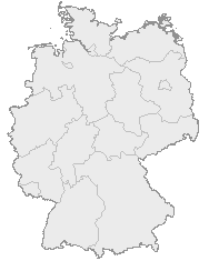
English: Map of Germany with the borders of the 16 federal states.
Deutsch: Karte von Deutschland mit den Grenzen der 16 Bundesländer. |
| Date | Unknown date |
| Source | OpenGeoDB |
| Author | NN/OpenGeoDB |
| Permission (Reusing this file) |
GFDL |
This image was generated with OpenGeoDB. The information there is placed in the public domain, images generated from OpenGeoDB are derivative works without passing the threshold of creativity, they are therefore also public domain.
| This work is ineligible for copyright and therefore in the public domain because it consists entirely of information that is common property and contains no original authorship. |

|
File:Germany location map.svg is a vector version of this file. It should be used in place of this PNG file when not inferior.
File:Karte Deutschland.png → File:Germany location map.svg
For more information, see Help:SVG. |
 |
File history
Click on a date/time to view the file as it appeared at that time.
| Date/Time | Dimensions | User | Comment | |
|---|---|---|---|---|
| current | 11:46, 8 January 2008 | 188 × 235 (2 KB) | Evilboy | Reverted to version as of 20:35, 14 March 2007 |
File usage
There are no pages that use this file.