File:Ke-map.png
No higher resolution available.
Ke-map.png (325 × 349 pixels, file size: 16 KB, MIME type: image/png)
| This is a file from the Wikimedia Commons. The description on its description page there is shown below.
|
Summary
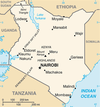
| Description | Kenya map from CIA World Factbook, converted from original GIF format (July 2011 version showing South Sudan) |
| Date | |
| Source |
CIA World Factbook |
| Author | United States Central Intelligence Agency |
| Other versions |
|
.png)
Licensing
This image is in the public domain because it contains materials that originally came from the United States Central Intelligence Agency's World Factbook.
|
 |
File history
Click on a date/time to view the file as it appeared at that time.
| Date/Time | Dimensions | User | Comment | |
|---|---|---|---|---|
| current | 21:58, 11 February 2022 | 325 × 349 (16 KB) | Lojwe | Cropped 1 % horizontally, 1 % vertically using CropTool with precise mode. |
File usage
The following page uses this file: