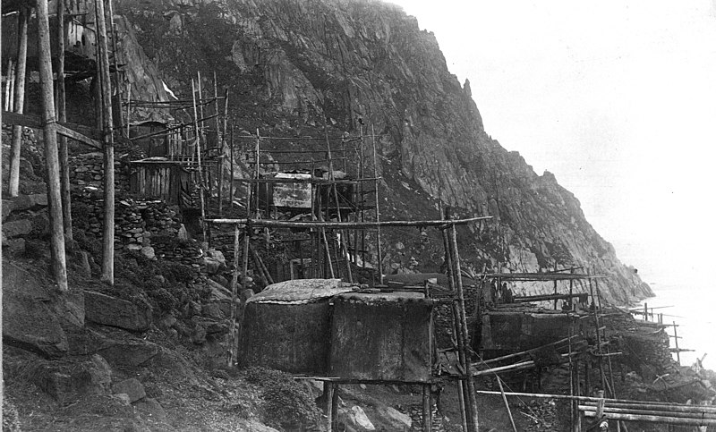
File:King Island Houses USGS ric00642.jpg

Size of this preview: 800 × 483 pixels. Other resolutions: 320 × 193 pixels | 640 × 386 pixels | 1,024 × 618 pixels | 1,280 × 773 pixels | 3,936 × 2,376 pixels.
Original file (3,936 × 2,376 pixels, file size: 6.02 MB, MIME type: image/jpeg)
File history
Click on a date/time to view the file as it appeared at that time.
| Date/Time | Dimensions | User | Comment | |
|---|---|---|---|---|
| current | 06:02, 18 May 2010 | 3,936 × 2,376 (6.02 MB) | Dankarl | {{Information |Description={{en|1=View of Kings Island Houses. Nome district, Seward Penensula region. Alaska. cc 1892. Stilt houses on a rocky bank.}} |Source=U.S. Geological Survey Photographic Library [http://libraryphoto.cr.usgs.gov/cgi-bin/show_pict |
File usage
The following page uses this file:
