File:Koettmannsdorf Unterschlossberg Stausee und Strassenbruecke 03032015 0234.jpg

Size of this preview: 800 × 566 pixels. Other resolutions: 320 × 226 pixels | 640 × 452 pixels | 1,024 × 724 pixels | 1,280 × 905 pixels | 4,640 × 3,280 pixels.
Original file (4,640 × 3,280 pixels, file size: 6.88 MB, MIME type: image/jpeg)
| This is a file from the Wikimedia Commons. The description on its description page there is shown below.
|
Summary
| Description |
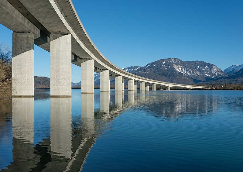
English: Road bridge of the “Loiblpass Strasse B91” across the Ferlach reservoir of the river Drava at Unterschlossberg (submontane the castle Hollenburg), municipality Koettmannsdorf, district Klagenfurt Land, Carinthia, Austria, EU
Deutsch: Strassenbrücke der „Loiblpass Strasse B91“ über den Ferlacher Stausee der Drau unterhalb der Hollenburg in Unterschlossberg, Gemeinde Köttmannsdorf, Bezirk Klagenfurt Land, Kärnten, Österreich, EU
Polski: Most „Loiblpass Straße” na drodze B91 przerzucony nad Zalewem Ferlach (Ferlacher Stausee) na Drawie widziany od strony miejscowości Unterschloßberg w gminie Köttmannsdorf, w powiecie Klagenfurt-Land, w Karyntii, w Austrii.
Русский: Автомобильный мост Loiblpass на B91 Штрассе через водохранилище Ферлах на р. Драва, вид в сторону замка Холленбург, Австрия, Каринтия, Клагенфурт-Ланд, Кёттманнсдорф |
||
| Date | |||
| Source | Own work | ||
| Author | Johann Jaritz | ||
| Permission (Reusing this file) |
I, the copyright holder of this work, hereby publish it under the following licenses:
This file is licensed under the Creative Commons Attribution-Share Alike 3.0 Austria license.
 You may select the license of your choice. |

| Object location | | View this and other nearby images on: OpenStreetMap |
|---|
Assessment
|

Licensing
I, the copyright holder of this work, hereby publish it under the following license:
This file is licensed under the Creative Commons Attribution-Share Alike 3.0 Unported license.
- You are free:
- to share – to copy, distribute and transmit the work
- to remix – to adapt the work
- Under the following conditions:
- attribution – You must give appropriate credit, provide a link to the license, and indicate if changes were made. You may do so in any reasonable manner, but not in any way that suggests the licensor endorses you or your use.
- share alike – If you remix, transform, or build upon the material, you must distribute your contributions under the same or compatible license as the original.
File history
Click on a date/time to view the file as it appeared at that time.
| Date/Time | Dimensions | User | Comment | |
|---|---|---|---|---|
| current | 07:21, 6 March 2015 | 4,640 × 3,280 (6.88 MB) | Johann Jaritz | {{Information |Description={{en|1=Road bridge of the „Loiblpass Strasse B91“ across the Ferlach reservoir of the river Drava at Unterschlossberg (submontane the castle Hollenburg), municipality [[w:Köttmannsdorf|Koettm... |
File usage
The following page uses this file: