File:Kohila vesiveski2.jpg

Size of this preview: 800 × 458 pixels. Other resolutions: 320 × 183 pixels | 640 × 367 pixels | 1,024 × 587 pixels | 1,280 × 733 pixels | 5,660 × 3,243 pixels.
Original file (5,660 × 3,243 pixels, file size: 14.97 MB, MIME type: image/jpeg)
| This is a file from the Wikimedia Commons. The description on its description page there is shown below.
|
Summary
| Description |
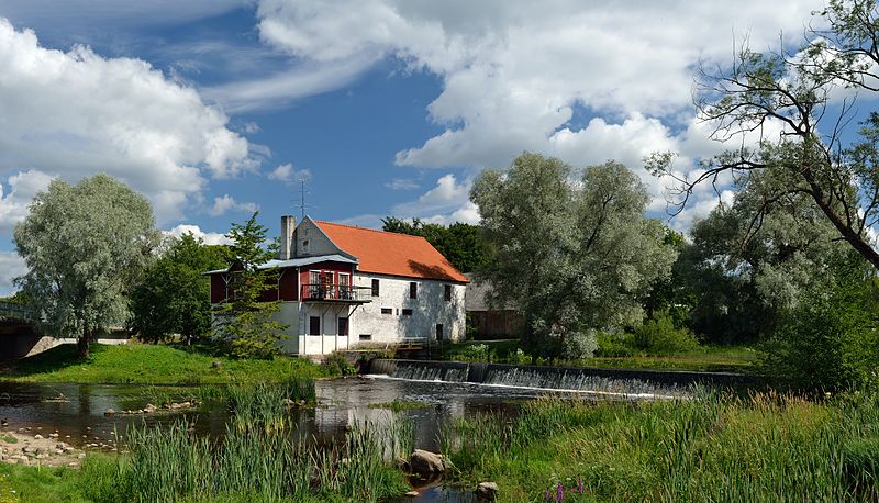
Eesti: Kohila vesiveski ja veskipais Keila jõel, ehitatud 1875. Tänapäeval töötab hoones baar. English: Kohila watermill with dam on Keila river, built in 1875. Today used as a tavern.
Deutsch: Kohila-Wassermühle mit Staudamm am Keila-Bach, erbaut 1875. Heute genutzt als Gaststätte.
|
||
| Date | |||
| Source | Own work | ||
| Author | Ivar Leidus | ||
| Other versions |
 |
| Camera location | | View this and other nearby images on: OpenStreetMap |
|---|
| Camera Model | Nikon D3100 |
|---|---|
| Shutter speed | 1/125; |
| Aperture | f/5.6; |
| Film speed (ISO) | 100; |
|
This image was selected as picture of the day on Wikimedia Commons for 20 August 2013. It was captioned as follows: Other languages:
Deutsch: Wassermühle, erbaut 1875, in Kohila mit Damm am Fluss Keila. Eesti: Kohila vesiveski ja veskipais Keila jõel, ehitatud 1875. Nederlands: De watermolen van Kohila, uit 1875, met dam op de rivier de Keila in het noorden van Estland. 中文: 爱沙尼亚科希拉的水力磨坊,前面为凯伊拉河。 |

|
NOTE: This image is a panorama consisting of multiple frames that were merged or stitched in software. As a result, this image necessarily underwent some form of digital manipulation. These manipulations may include blending, blurring, cloning, and colour and perspective adjustments. As a result of these adjustments, the image content may be slightly different from reality at the points where multiple images were combined. This manipulation is often required due to lens, perspective, and parallax distortions.
|
This image was created with Hugin.
Licensing
I, the copyright holder of this work, hereby publish it under the following license:
This file is licensed under the Creative Commons Attribution-ShareAlike 3.0 Estonia license.
- You are free:
- to share – to copy, distribute and transmit the work
- to remix – to adapt the work
- Under the following conditions:
- attribution – You must give appropriate credit, provide a link to the license, and indicate if changes were made. You may do so in any reasonable manner, but not in any way that suggests the licensor endorses you or your use.
- share alike – If you remix, transform, or build upon the material, you must distribute your contributions under the same or compatible license as the original.

File history
Click on a date/time to view the file as it appeared at that time.
| Date/Time | Dimensions | User | Comment | |
|---|---|---|---|---|
| current | 05:50, 22 October 2012 | 5,660 × 3,243 (14.97 MB) | Iifar | User created page with UploadWizard |
File usage
The following page uses this file: