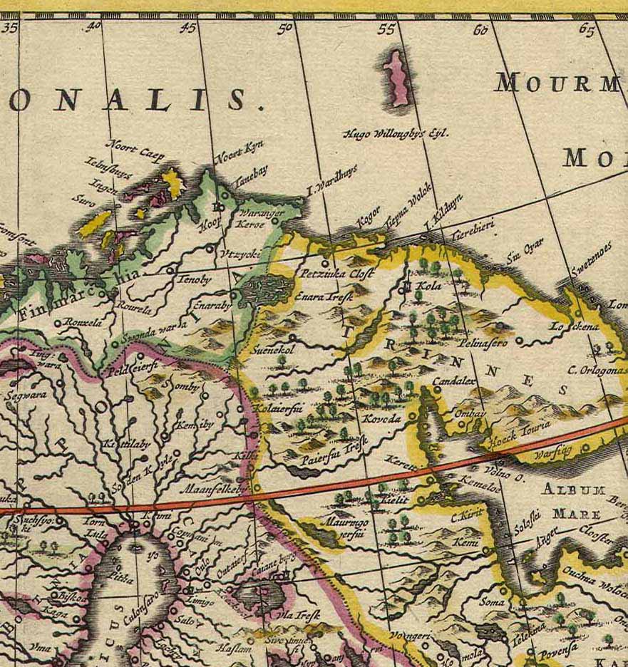
File:Kola Peninsula map from 1660.jpg
Size of this preview: 564 × 599 pixels. Other resolutions: 226 × 240 pixels | 452 × 480 pixels | 565 × 600 pixels | 881 × 936 pixels.
Original file (881 × 936 pixels, file size: 197 KB, MIME type: image/jpeg)
| This is a file from the Wikimedia Commons. The description on its description page there is shown below.
|
| Description |
English: Dutch map of the Kola Peninsula. |
|||||
| Date | ||||||
| Source | http://kolamap.ru/17.html | |||||
| Author | De Wit | |||||
| Permission (Reusing this file) |
|
|||||
File history
Click on a date/time to view the file as it appeared at that time.
| Date/Time | Dimensions | User | Comment | |
|---|---|---|---|---|
| current | 21:34, 6 February 2011 | 881 × 936 (197 KB) | Nyttend | {{Information |Description={{en|Dutch map of the {{w|Kola Peninsula}}.}} |Author=De Wit |Source=http://kolamap.ru/17.html |Date=1660 |Permission={{PD-art}} |Other_versions=None }} Category:1660 works Category:Kola Peninsula [[Category:Maps in Dut |
File usage
The following 2 pages use this file: