File:Kronoberg, Open Street Map, September 2012.jpg
No higher resolution available.
Kronoberg,_Open_Street_Map,_September_2012.jpg (592 × 375 pixels, file size: 279 KB, MIME type: image/jpeg)
| This is a file from the Wikimedia Commons. The description on its description page there is shown below.
|
| Description |
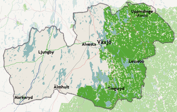
Svenska: En karta där Kronobergs län har lyfts fram tillsammans med dess kommuners centralorter. English: A map where Kronoberg County has been highlighted together with its municipal centres. The county is evenly forested, which may make the map colours seem somewhat confusing. |
|||
| Date | ||||
| Source | openstreetmap.org | |||
| Creator |
OpenStreetMap contributors |
|||
| Permission (Reusing this file) |
OpenStreetMap data is available under the Open Database License (details). Map tiles are licensed under the Creative Commons Attribution-ShareAlike 2.0 license (CC-BY-SA 2.0).
This file is licensed under the Creative Commons Attribution-Share Alike 2.0 Generic license.
|
|||
| Georeferencing | If inappropriate please set warp_status = skip to hide. |
| Annotations | This image is annotated: View the annotations at Commons |
File history
Click on a date/time to view the file as it appeared at that time.
| Date/Time | Dimensions | User | Comment | |
|---|---|---|---|---|
| current | 13:11, 13 September 2012 | 592 × 375 (279 KB) | Christoffre | User created page with UploadWizard |
File usage
The following page uses this file: