File:L'Enfant plan.jpg
Original file (4,179 × 3,404 pixels, file size: 5.26 MB, MIME type: image/jpeg)
| This is a file from the Wikimedia Commons. The description on its description page there is shown below.
|
|
This is an image of a place or building that is listed on the National Register of Historic Places in the United States of America. Its reference number is 97000332. |
Summary
| Description |
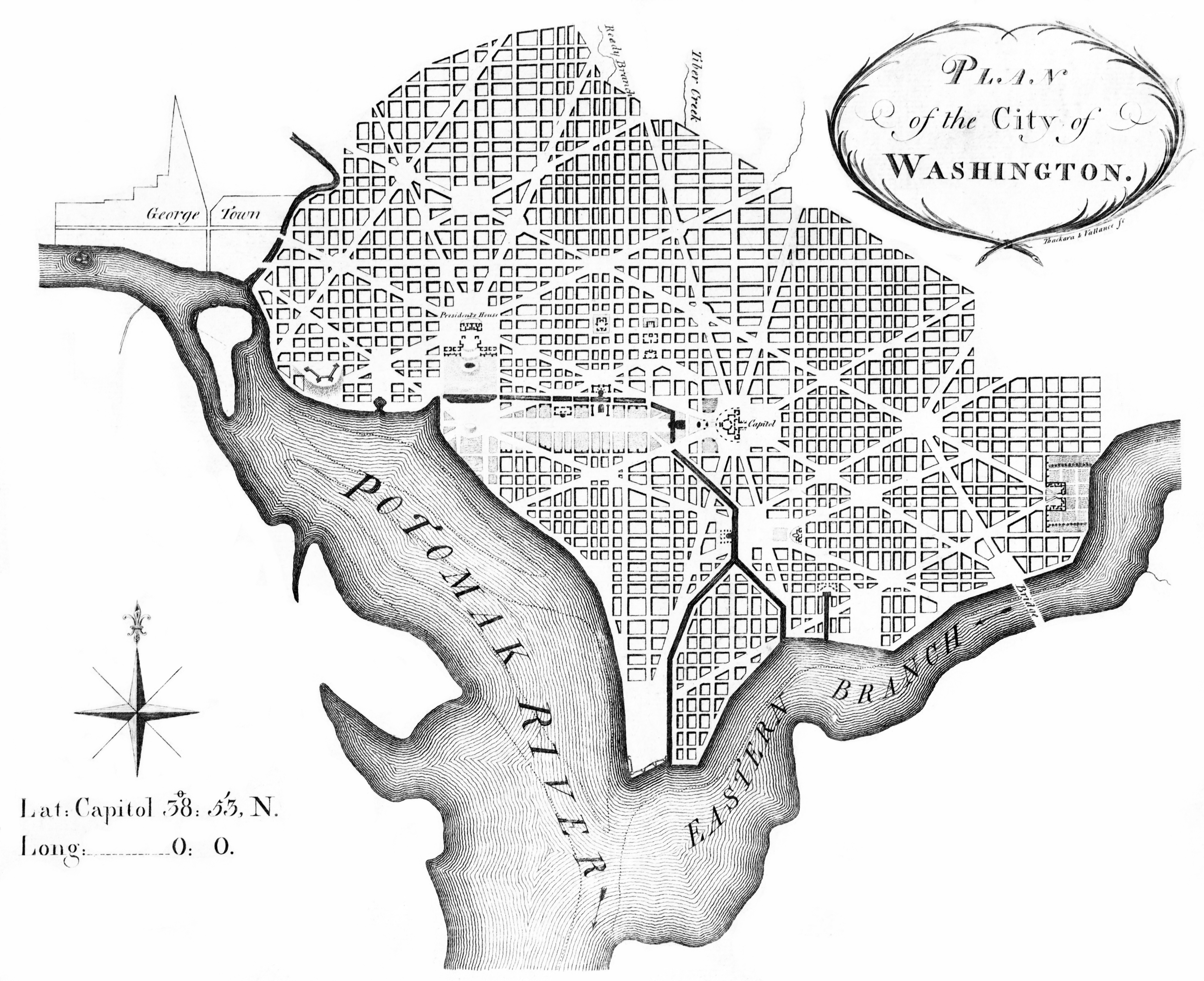
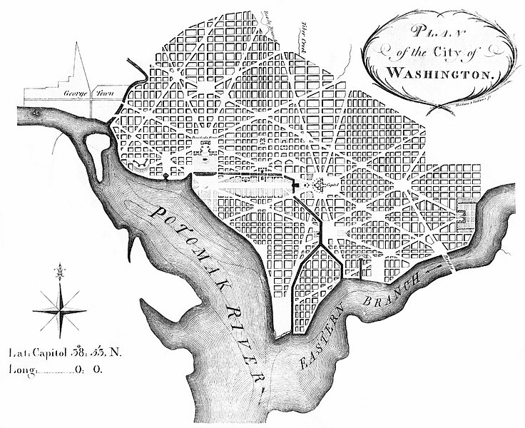
English: Plan of the City of Washington, March 1792, Engraving on paper, see Library of Congress record |
| Date | |
| Source | Library of Congress |
| Author | Andrew Ellicott, revised from Pierre (Peter) Charles L'Enfant; Thackara & Vallance sc., Philadelphia 1792 |
| Other versions |
|


| Object location | | View this and other nearby images on: OpenStreetMap |
|---|

|
File:L'Enfant plan.svg is a vector version of this file. It should be used in place of this JPG file when not inferior.
File:L'Enfant plan.jpg → File:L'Enfant plan.svg
For more information, see Help:SVG. |
 |
Andrew Ellicott's revision of L'Enfant's Plan, showing Washington City Canal.
Licensing
This image is in the public domain because it is a mere mechanical scan or photocopy of a public domain original, or – from the available evidence – is so similar to such a scan or photocopy that no copyright protection can be expected to arise. The original itself is in the public domain for the following reason:
This tag is designed for use where there may be a need to assert that any enhancements (eg brightness, contrast, colour-matching, sharpening) are in themselves insufficiently creative to generate a new copyright. It can be used where it is unknown whether any enhancements have been made, as well as when the enhancements are clear but insufficient. For known raw unenhanced scans you can use an appropriate {{PD-old}} tag instead. For usage, see Commons:When to use the PD-scan tag.  |


File history
Click on a date/time to view the file as it appeared at that time.
| Date/Time | Dimensions | User | Comment | |
|---|---|---|---|---|
| current | 11:46, 28 November 2010 | 4,179 × 3,404 (5.26 MB) | MattWade | Restored version of the full-size copy hosted by LOC; cloned, painted, levels adjusted, made black and white, etc. |
File usage
There are no pages that use this file.