File:La2-demis-hjalmaren.png

Size of this preview: 800 × 449 pixels. Other resolutions: 320 × 180 pixels | 640 × 359 pixels | 944 × 530 pixels.
Original file (944 × 530 pixels, file size: 61 KB, MIME type: image/png)
| This is a file from the Wikimedia Commons. The description on its description page there is shown below.
|
Summary
| Description |
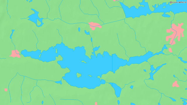
English: Lake Hjälmaren in Sweden.
Bounding box West 15.1°, South 59.07°, East 16.6°, North 59.5°. Center at 59°17′06″N 15°51′00″E / 59.28500°N 15.85000°E.Deutsch: Der See Hjälmaren in Schweden.
Esperanto: La lago Hjälmaren en Svedio. |
| Date | |
| Source | Demis map server |
| Author | Demis map server |
This image is in the public domain because it came from the site https://www.demis.nl/products/web-map-server/examples/ and was released by the copyright holder. Permission is granted to copy, distribute and/or modify this map since it is based on free of copyright images from: www.demis.nl. See also approval email on de.wp and its clarification.
|
| This work has been released into the public domain by its copyright holder, www.demis.nl. This applies worldwide. In some countries this may not be legally possible; if so: www.demis.nl grants anyone the right to use this work for any purpose, without any conditions, unless such conditions are required by law.
|
File history
Click on a date/time to view the file as it appeared at that time.
| Date/Time | Dimensions | User | Comment | |
|---|---|---|---|---|
| current | 04:48, 30 August 2005 | 944 × 530 (61 KB) | LA2 | Lake Hjälmaren in Sweden. {{demis-pd}} category:Maps of Sweden |
File usage
The following page uses this file: