File:Larvik Torstrand.jpg
Size of this preview: 800 × 533 pixels. Other resolutions: 320 × 213 pixels | 640 × 426 pixels | 1,024 × 682 pixels | 1,280 × 852 pixels | 2,472 × 1,646 pixels.
Original file (2,472 × 1,646 pixels, file size: 3.06 MB, MIME type: image/jpeg)
| This is a file from the Wikimedia Commons. The description on its description page there is shown below.
|
Summary
| Camera location | | View this and other nearby images on: OpenStreetMap |
|---|
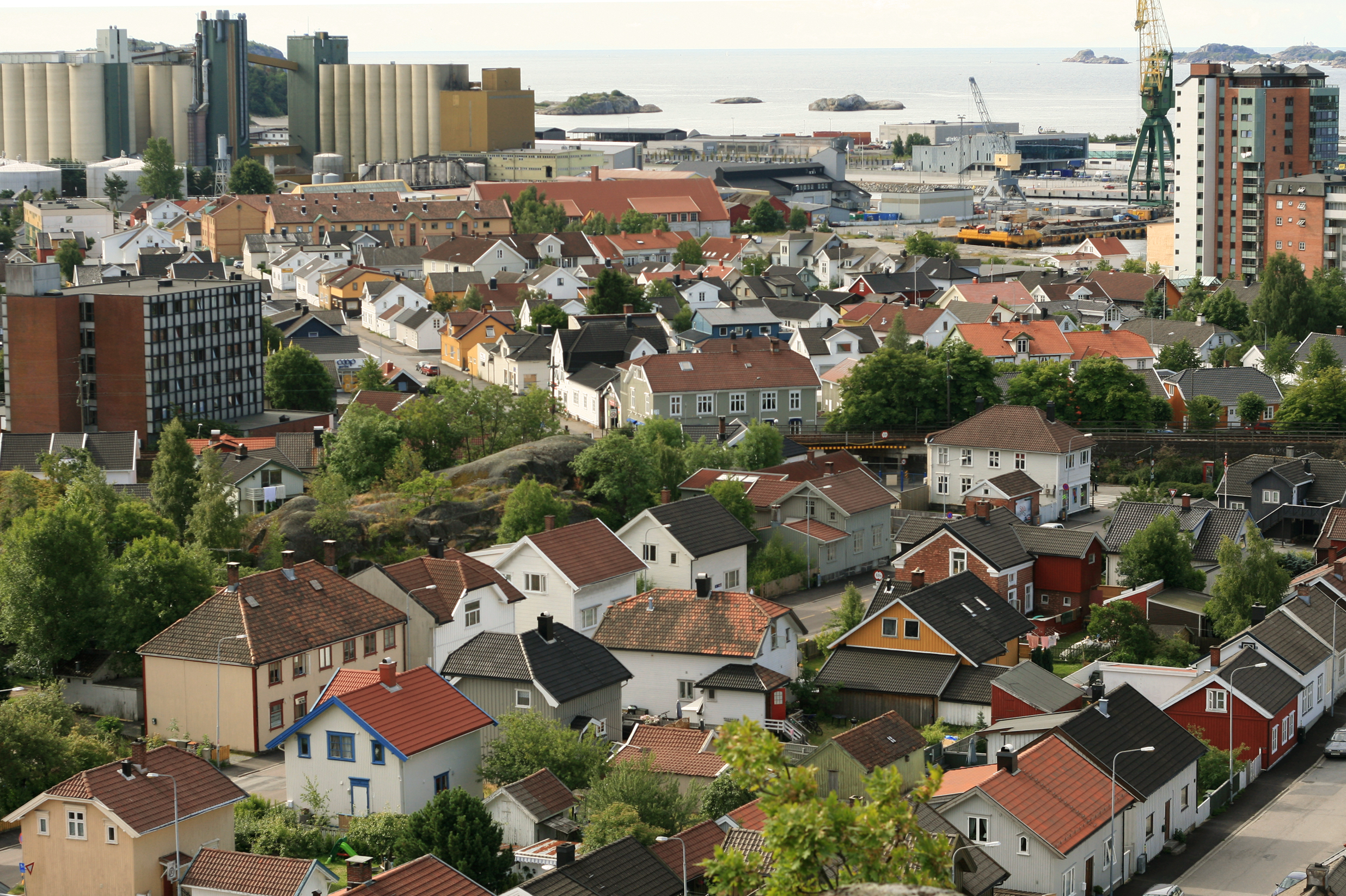
| Description | Torstrand, Larvik, Norway. |
| Date | |
| Source | Own work |
| Author | User:Mahlum |
Licensing
| I, the copyright holder of this work, release this work into the public domain. This applies worldwide. In some countries this may not be legally possible; if so: I grant anyone the right to use this work for any purpose, without any conditions, unless such conditions are required by law. |
File history
Click on a date/time to view the file as it appeared at that time.
| Date/Time | Dimensions | User | Comment | |
|---|---|---|---|---|
| current | 03:34, 13 September 2008 | 2,472 × 1,646 (3.06 MB) | Mahlum | {{Information |Description= |Source= |Date= |Author= |Permission= |other_versions= }} Category:Larvik |
File usage
The following page uses this file: