File:Locatie Floreszee.PNG
No higher resolution available.
Locatie_Floreszee.PNG (484 × 362 pixels, file size: 12 KB, MIME type: image/png)
| This is a file from the Wikimedia Commons. The description on its description page there is shown below.
|
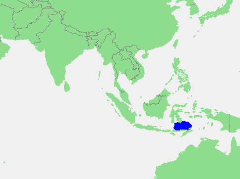
| Description | Flores Sea | ||||
| Source | own work based on PD map | ||||
| Author | edited by M.Minderhoud | ||||
| Permission (Reusing this file) |
|
File history
Click on a date/time to view the file as it appeared at that time.
| Date/Time | Dimensions | User | Comment | |
|---|---|---|---|---|
| current | 05:37, 17 September 2006 | 484 × 362 (12 KB) | Michiel1972 | {{Information |Description= Flores Sea |Source= own work based on PD map |Date= |Author= edited by M.Minderhoud |Permission= {{PD-Demis}} |other_versions= }} category:Locator maps of seas |
File usage
The following page uses this file: