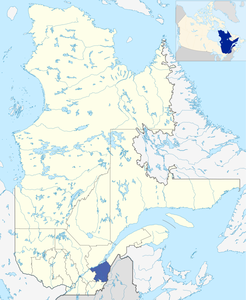
File:LocationChaudière-Appalaches.png

Size of this preview: 492 × 600 pixels. Other resolutions: 197 × 240 pixels | 394 × 480 pixels | 630 × 768 pixels | 840 × 1,024 pixels | 2,000 × 2,437 pixels.
Original file (2,000 × 2,437 pixels, file size: 1.31 MB, MIME type: image/png)
| This is a file from the Wikimedia Commons. The description on its description page there is shown below.
|
- Originally created for Spanish Wikipedia by George McFinnigan.
Note: This tag is deprecated, please replace this template with {{PD-user-w}}
| |
This work has been released into the public domain by its author, George McFinnigan, at the Spanish Wikipedia project. This applies worldwide. In case this is not legally possible: |
File history
Click on a date/time to view the file as it appeared at that time.
| Date/Time | Dimensions | User | Comment | |
|---|---|---|---|---|
| current | 12:33, 10 January 2012 | 2,000 × 2,437 (1.31 MB) | Orbitale~commonswiki | Carte plus précise |
File usage
The following page uses this file: