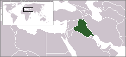
File:LocationIraq.png
LocationIraq.png (250 × 115 pixels, file size: 3 KB, MIME type: image/png)
File history
Click on a date/time to view the file as it appeared at that time.
| Date/Time | Dimensions | User | Comment | |
|---|---|---|---|---|
| current | 08:43, 19 April 2009 | 250 × 115 (3 KB) | Skies | Location map for Iraq. Originally created for English Wikipedia by Vardion. {{PD-user-w|en|English Wikipedia|Vardion}} {{Vector version available|LocationIraq.svg}} Category:Locator maps of countries of Asia [[Category:Maps of |
File usage
There are no pages that use this file.


