File:London Overground map 2012.png

Size of this preview: 637 × 600 pixels. Other resolutions: 255 × 240 pixels | 510 × 480 pixels | 816 × 768 pixels | 1,088 × 1,024 pixels | 1,600 × 1,506 pixels.
Original file (1,600 × 1,506 pixels, file size: 238 KB, MIME type: image/png)
File history
Click on a date/time to view the file as it appeared at that time.
| Date/Time | Dimensions | User | Comment | |
|---|---|---|---|---|
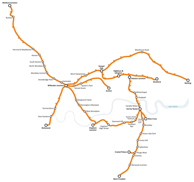
| current | 10:41, 25 June 2009 | 1,600 × 1,506 (238 KB) | Pedromontiel | {{Information |Description={{en|1=Proposed London Overground network in 2012, once the second phase of the East London Line extension has been built. Note: stations shown with their names are either terminus or those with a transport interchange (rail, u |
File usage
The following page uses this file:
