File:Lowestoft 10-4-2004.jpg

Size of this preview: 800 × 495 pixels. Other resolutions: 320 × 198 pixels | 640 × 396 pixels | 1,024 × 634 pixels | 1,280 × 792 pixels | 1,800 × 1,114 pixels.
Original file (1,800 × 1,114 pixels, file size: 927 KB, MIME type: image/jpeg)
| This is a file from the Wikimedia Commons. The description on its description page there is shown below.
|
Summary
| Description |
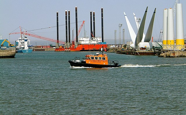
English: Windfarm construction in Lowestoft harbour |
| Date | |
| Source | Martin Petitt's Flickr stream at https://www.flickr.com/photos/mdpettitt/4979264318/ |
| Author | Martin Petitt |
| Camera location | | View this and other nearby images on: OpenStreetMap |
|---|
Licensing

|
The copyright holder of this file allows anyone to use it for any purpose, provided that the copyright holder is properly attributed. Redistribution, derivative work, commercial use, and all other use is permitted. |
|
|
File history
Click on a date/time to view the file as it appeared at that time.
| Date/Time | Dimensions | User | Comment | |
|---|---|---|---|---|
| current | 12:53, 28 April 2011 | 1,800 × 1,114 (927 KB) | Blue Square Thing | {{Information |Description ={{en|1=Windfarm construction in Lowestoft harbour}} |Source =Martin Petitt's Flickr stream at http://www.flickr.com/photos/mdpettitt/4979264318/ |Author =Martin Petitt |Date =2004-05-10 |Permission |
File usage
The following page uses this file: