File:München - Allianz-Arena (Luftbild).jpg
Size of this preview: 800 × 453 pixels. Other resolutions: 320 × 181 pixels | 640 × 362 pixels | 1,024 × 580 pixels | 1,484 × 840 pixels.
Original file (1,484 × 840 pixels, file size: 543 KB, MIME type: image/jpeg)
| This is a file from the Wikimedia Commons. The description on its description page there is shown below.
|
.jpg)
Summary
| Description |
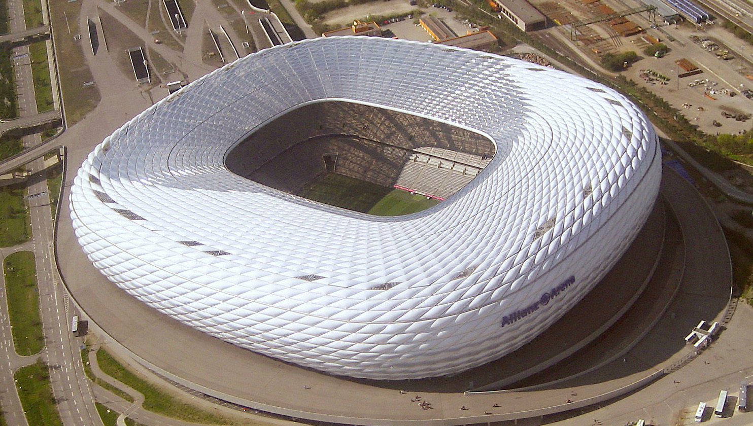
Deutsch: Luftbild der Allianz-Arena in München
English: Allianz Arena in Munich, Germany, with Fröttmaning station in the background |
| Date | |
| Source | Own work |
| Author | Maximilian Dörrbecker (Chumwa) |
| Permission (Reusing this file) |
I, the copyright holder of this work, hereby publish it under the following license: This file is licensed under the Creative Commons Attribution-Share Alike 2.5 Generic license.
Sie dürfen das Bild zu den folgenden Bedingungen nutzen:
|
| Camera location | | View this and other nearby images on: OpenStreetMap |
|---|
.jpg¶ms=048.218956_N_0011.624522_E_globe:Earth_type:camera_region:DE_&language=en)
File history
Click on a date/time to view the file as it appeared at that time.
| Date/Time | Dimensions | User | Comment | |
|---|---|---|---|---|
| current | 10:49, 11 April 2021 | 1,484 × 840 (543 KB) | 0m9Ep | Brightness, color, crop |
File usage
The following 4 pages use this file:
.jpg)