File:Male tears embroidery 02.jpg

Size of this preview: 800 × 600 pixels. Other resolutions: 320 × 240 pixels | 640 × 480 pixels | 1,024 × 768 pixels | 1,280 × 960 pixels | 4,896 × 3,672 pixels.
Original file (4,896 × 3,672 pixels, file size: 5.5 MB, MIME type: image/jpeg)
| This is a file from the Wikimedia Commons. The description on its description page there is shown below.
|
Summary
| Description |
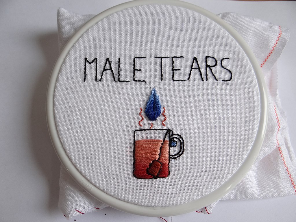
Français : Broderie "male tears" (larmes d'homme), montrant une larme (d'homme) arrosant une tisane.
Les male tears sont une expression féministe symbolique pour désigner les plaintes formulées par les hommes destinées à plaindre leur condition et le sexisme dont ils seraient autant si ce n'est plus victimes que les femmes selon eux. Point passé/passé plat (satin stitch) pour le remplissage de la tisane, celui du sachet et de son étiquette ainsi que pour la goutte d'eau. Point arrière/point de piqûre pour le texte, les contours de la tasse et du sachet de tisane.English: "Male tears" embroidery, with a (male) tear falling down into a cup of tea.
Satin stitch: cup of tea, teabag and its label. Back stitch: edge of the cup of tea, edge or the teabag, text. |
| Date | |
| Source | Own work |
| Author | Anne Jea. |
| Camera location | | View this and other nearby images on: OpenStreetMap |
|---|
Licensing
I, the copyright holder of this work, hereby publish it under the following license:
This file is licensed under the Creative Commons Attribution-Share Alike 4.0 International license.
- You are free:
- to share – to copy, distribute and transmit the work
- to remix – to adapt the work
- Under the following conditions:
- attribution – You must give appropriate credit, provide a link to the license, and indicate if changes were made. You may do so in any reasonable manner, but not in any way that suggests the licensor endorses you or your use.
- share alike – If you remix, transform, or build upon the material, you must distribute your contributions under the same or compatible license as the original.
File history
Click on a date/time to view the file as it appeared at that time.
| Date/Time | Dimensions | User | Comment | |
|---|---|---|---|---|
| current | 10:49, 24 July 2020 | 4,896 × 3,672 (5.5 MB) | .Anja. | Uploaded own work with UploadWizard |
File usage
The following page uses this file: