File:Map PMNM 2016.jpg

Size of this preview: 800 × 445 pixels. Other resolutions: 320 × 178 pixels | 640 × 356 pixels | 1,200 × 667 pixels.
Original file (1,200 × 667 pixels, file size: 249 KB, MIME type: image/jpeg)
| This is a file from the Wikimedia Commons. The description on its description page there is shown below.
|

|
This map image could be re-created using vector graphics as an SVG file. This has several advantages; see Commons:Media for cleanup for more information. If an SVG form of this image is available, please upload it and afterwards replace this template with
{{vector version available|new image name}}.
It is recommended to name the SVG file “Map PMNM 2016.svg”—then the template Vector version available (or Vva) does not need the new image name parameter. |


Summary
| Description |
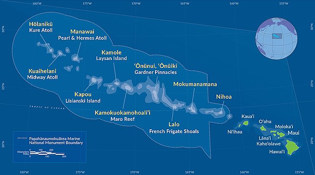
Deutsch: Karte des Papahānaumokuākea Marine National Monument (2016)
English: Map of Papahānaumokuākea Marine National Monument (2016) |
| Date | |
| Source | http://www.papahanaumokuakea.gov/ |
| Author | NOAA |
Licensing
This image is in the public domain because it contains materials that originally came from the U.S. National Oceanic and Atmospheric Administration, taken or made as part of an employee's official duties.
|
File history
Click on a date/time to view the file as it appeared at that time.
| Date/Time | Dimensions | User | Comment | |
|---|---|---|---|---|
| current | 02:29, 28 August 2016 | 1,200 × 667 (249 KB) | NordNordWest | == {{int:filedesc}} == {{Information |Description={{de|Karte des Papahānaumokuākea Marine National Monument (2016)}} {{en|Map of [[:en:Papahānaumokuākea Marine National Monument|Papahānaumokuāk... |
File usage
The following page uses this file: