File:Map of Argolis.jpg

Original file (5,294 × 3,756 pixels, file size: 14.26 MB, MIME type: image/jpeg)
| This is a file from the Wikimedia Commons. The description on its description page there is shown below.
|
| Description |
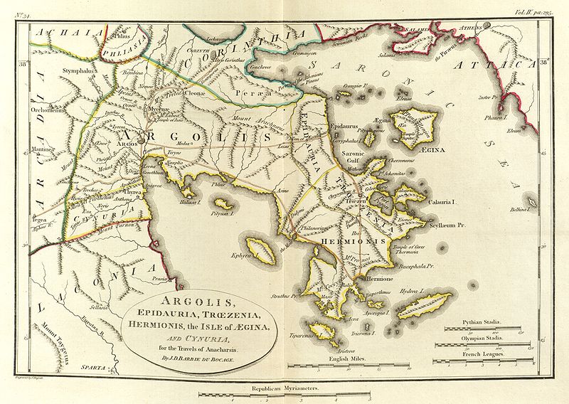
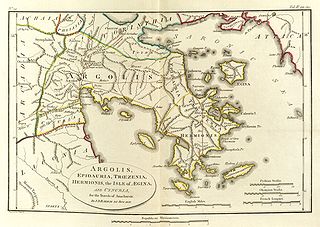
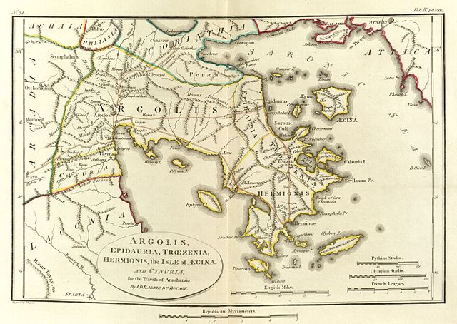
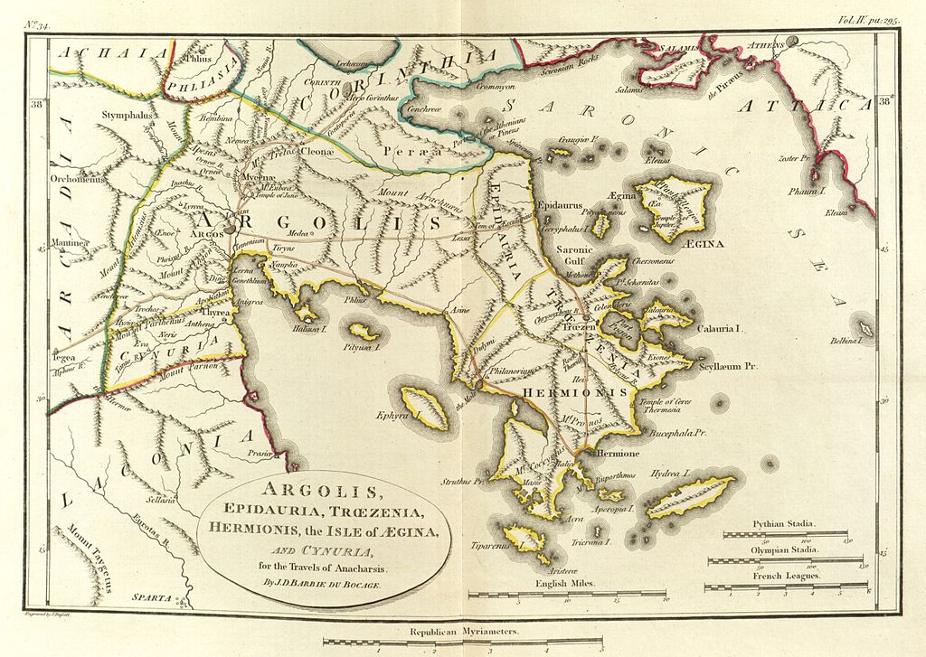
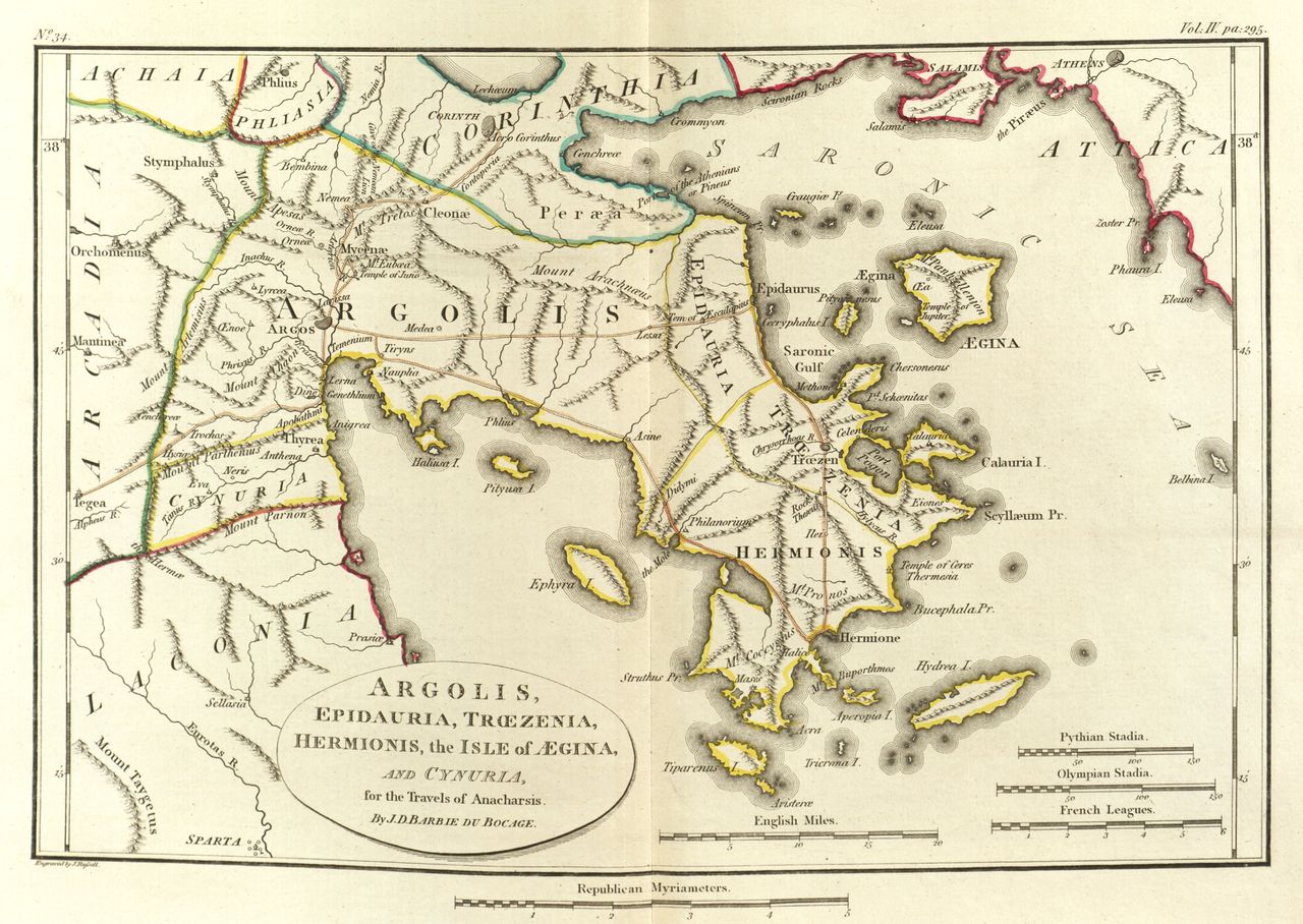
English: Scan of Map of Argolis.
|
|||||||
| Date | ||||||||
| Source | Maps, plans, views and coins illustrative of the travels of Anacharsis the Younger in Greece, during the middle of the fourth century before the Christian era | |||||||
| Author | J. J. Barthélemy | |||||||

File history
Click on a date/time to view the file as it appeared at that time.
| Date/Time | Dimensions | User | Comment | |
|---|---|---|---|---|
| current | 18:27, 23 May 2010 | 5,294 × 3,756 (14.26 MB) | Aremulus | {{Information |Description={{en|1=Scan of Map of Argolis. {{PD-1923}} {{PD-self}} {{PD-old}} {{PD-scan}}}} |Source=Maps, plans, views and coins illustrative of the travels of Anacharsis the Younger in Greece, during the middle of the fourth century befor |
File usage
The following page uses this file: