File:Map of Arizona highlighting Gadsden Purchase Counties.svg

Size of this PNG preview of this SVG file: 517 × 599 pixels. Other resolutions: 207 × 240 pixels | 414 × 480 pixels | 517 × 600 pixels | 662 × 768 pixels | 883 × 1,024 pixels | 5,453 × 6,322 pixels.
Original file (SVG file, nominally 5,453 × 6,322 pixels, file size: 56 KB)
| This is a file from the Wikimedia Commons. The description on its description page there is shown below.
|
Summary
| Description |
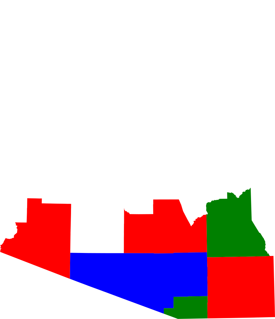
English: Based on the other Arizona county locator maps, just with shading turned on for multiple counties |
| Date | 3 August 2008 (original upload date) |
| Source | Transferred from en.wikipedia to Commons. |
| Author | JWB at English Wikipedia |
Licensing
JWB at English Wikipedia, the copyright holder of this work, hereby publishes it under the following licenses:
This file is licensed under the Creative Commons Attribution-Share Alike 3.0 Unported license.
Attribution: JWB at English Wikipedia
- You are free:
- to share – to copy, distribute and transmit the work
- to remix – to adapt the work
- Under the following conditions:
- attribution – You must give appropriate credit, provide a link to the license, and indicate if changes were made. You may do so in any reasonable manner, but not in any way that suggests the licensor endorses you or your use.
- share alike – If you remix, transform, or build upon the material, you must distribute your contributions under the same or compatible license as the original.

|
Permission is granted to copy, distribute and/or modify this document under the terms of the GNU Free Documentation License, Version 1.2 or any later version published by the Free Software Foundation; with no Invariant Sections, no Front-Cover Texts, and no Back-Cover Texts. A copy of the license is included in the section entitled GNU Free Documentation License. |
You may select the license of your choice.
Original upload log
The original description page was here. All following user names refer to en.wikipedia.
| Date/Time | Dimensions | User | Comment |
|---|---|---|---|
| 2008-08-03 22:09 | 5453×6322× (57280 bytes) | JWB | Omit Greenlee, vary colors |
| 2008-08-03 21:51 | 5453×6322× (57331 bytes) | JWB | Based on the other Arizona county locator maps, just with shading turned on for multiple counties |
File history
Click on a date/time to view the file as it appeared at that time.
| Date/Time | Dimensions | User | Comment | |
|---|---|---|---|---|
| current | 11:56, 24 July 2016 | 5,453 × 6,322 (56 KB) | BD2412 | Transferred from en.wikipedia |
File usage
The following page uses this file: