File:Map of China Xinjiang.svg

Size of this PNG preview of this SVG file: 290 × 234 pixels. Other resolutions: 298 × 240 pixels | 595 × 480 pixels | 744 × 600 pixels | 952 × 768 pixels | 1,269 × 1,024 pixels.
Original file (SVG file, nominally 290 × 234 pixels, file size: 184 KB)
| This is a file from the Wikimedia Commons. The description on its description page there is shown below.
|
Summary
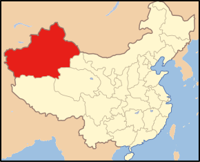
| Description | Administration maps of Xinjiang, China |
| Date | |
| Source | China-Xinjiang.png |
| Author | Made by Msnox |
Licensing

|
Permission is granted to copy, distribute and/or modify this document under the terms of the GNU Free Documentation License, Version 1.2 or any later version published by the Free Software Foundation; with no Invariant Sections, no Front-Cover Texts, and no Back-Cover Texts. A copy of the license is included in the section entitled GNU Free Documentation License. |
| This file is licensed under the Creative Commons Attribution-Share Alike 3.0 Unported license. | ||
| ||
| This licensing tag was added to this file as part of the GFDL licensing update. |
File history
Click on a date/time to view the file as it appeared at that time.
| Date/Time | Dimensions | User | Comment | |
|---|---|---|---|---|
| current | 14:16, 29 July 2007 | 290 × 234 (184 KB) | Msnox | {{information| |Description =Administration maps of Xinjiang, China |Source =[http://commons.wikimedia.org/wiki/Image:China-Xinjiang.png China-Xinjiang.png] |Date = 2007/7/30 |Author =Made by Msnox |Permission = |other_versions = |
File usage
The following page uses this file: