File:Map of Grainger County, Tennessee With Municipal and Township Labels.jpg
Size of this preview: 644 × 599 pixels. Other resolutions: 258 × 240 pixels | 516 × 480 pixels | 645 × 600 pixels | 825 × 768 pixels | 1,143 × 1,064 pixels.
Original file (1,143 × 1,064 pixels, file size: 159 KB, MIME type: image/jpeg)
| This is a file from the Wikimedia Commons. The description on its description page there is shown below.
|
Summary
| Description |
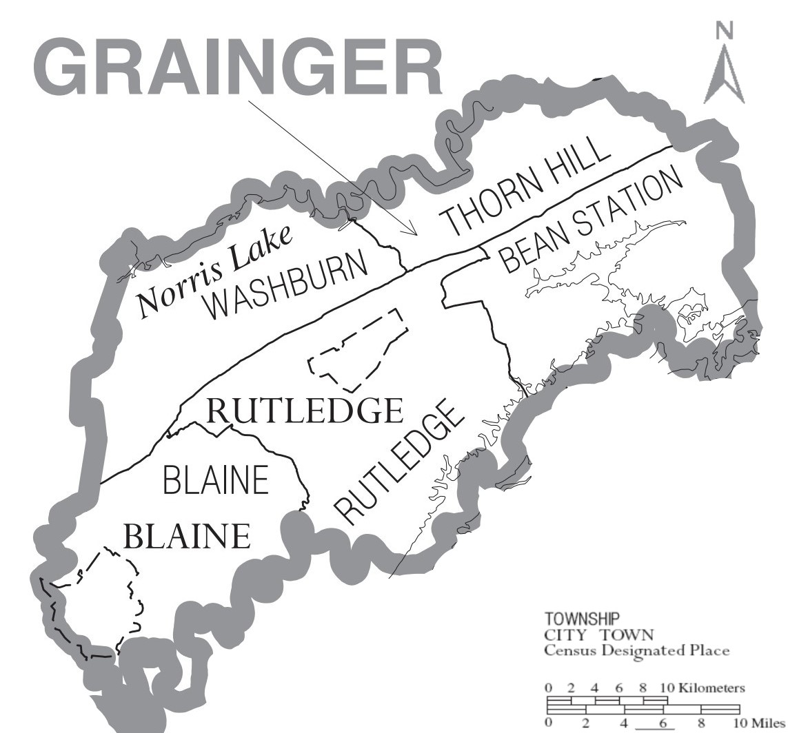
English: Map of Grainger County, North Carolina, United States with township and municipal boundaries |
| Date | |
| Source | https://www2.census.gov/geo/maps/general_ref/cousub_outline/cen2k_pgsz/tn_cosub.pdf |
| Author | United States Census Bureau |
Licensing
This image or file is a work of a United States Census Bureau employee, taken or made as part of that person's official duties. As a work of the U.S. federal government, the image is in the public domain.
|
 |
File history
Click on a date/time to view the file as it appeared at that time.
| Date/Time | Dimensions | User | Comment | |
|---|---|---|---|---|
| current | 10:24, 5 January 2021 | 1,143 × 1,064 (159 KB) | Vanished user 7782930114 | Uploaded a work by United States Census Bureau from https://www2.census.gov/geo/maps/general_ref/cousub_outline/cen2k_pgsz/tn_cosub.pdf with UploadWizard |
File usage
The following page uses this file: