File:Map of Tennessee counties (labeled).png
Size of this preview: 800 × 196 pixels. Other resolutions: 320 × 78 pixels | 640 × 157 pixels | 2,000 × 490 pixels.
Original file (2,000 × 490 pixels, file size: 122 KB, MIME type: image/png)
| This is a file from the Wikimedia Commons. The description on its description page there is shown below.
|
.png)
Summary
| Description |
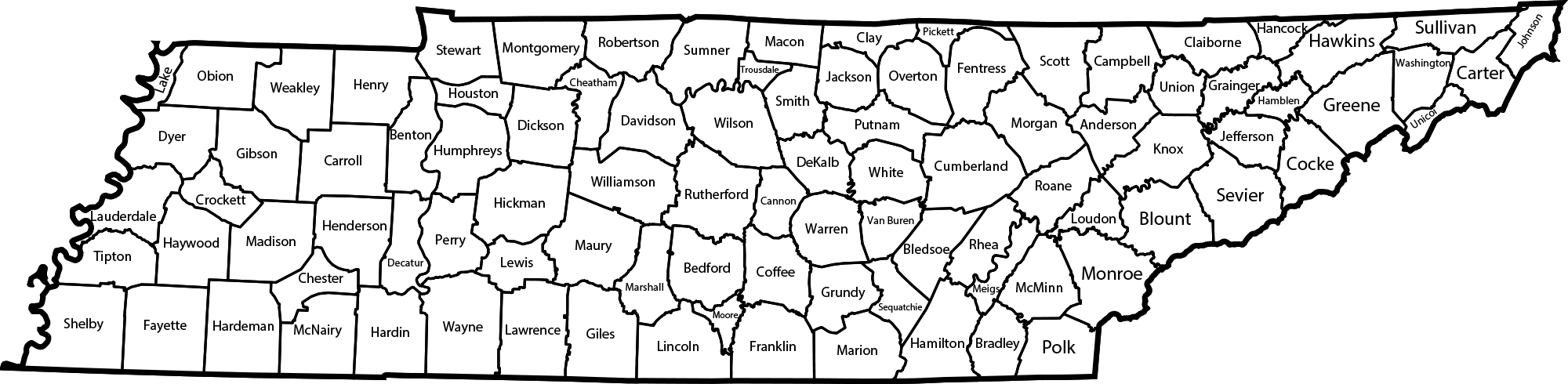
English: A map of Tennessee with all of its counties labeled. |
| Date | |
| Source | Own work |
| Author | JusBer88 |
Licensing
I, the copyright holder of this work, hereby publish it under the following license:
This file is licensed under the Creative Commons Attribution-Share Alike 3.0 Unported license.
- You are free:
- to share – to copy, distribute and transmit the work
- to remix – to adapt the work
- Under the following conditions:
- attribution – You must give appropriate credit, provide a link to the license, and indicate if changes were made. You may do so in any reasonable manner, but not in any way that suggests the licensor endorses you or your use.
- share alike – If you remix, transform, or build upon the material, you must distribute your contributions under the same or compatible license as the original.
File history
Click on a date/time to view the file as it appeared at that time.
| Date/Time | Dimensions | User | Comment | |
|---|---|---|---|---|
| current | 19:55, 26 November 2017 | 2,000 × 490 (122 KB) | Huntster | Fix transparency and compression, and fix Anderson County's border. |
File usage
The following page uses this file:
.png)