File:Mapa San José.png

Size of this preview: 436 × 600 pixels. Other resolutions: 174 × 240 pixels | 349 × 480 pixels | 800 × 1,100 pixels.
Original file (800 × 1,100 pixels, file size: 96 KB, MIME type: image/png)
| This is a file from the Wikimedia Commons. The description on its description page there is shown below.
|
Summary
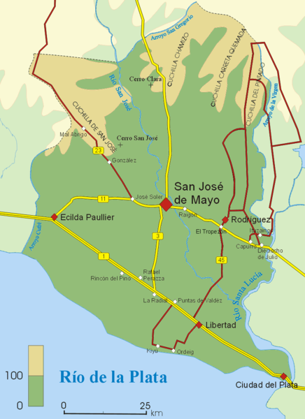
| Description | Mapa del departamento de San José, Uruguay. |
| Date | 5 January 2007 (original upload date) |
| Source | No machine-readable source provided. Own work assumed (based on copyright claims). |
| Author | No machine-readable author provided. Jordevi assumed (based on copyright claims). |
Licensing
| I, the copyright holder of this work, release this work into the public domain. This applies worldwide. In some countries this may not be legally possible; if so: I grant anyone the right to use this work for any purpose, without any conditions, unless such conditions are required by law. |
File history
Click on a date/time to view the file as it appeared at that time.
| Date/Time | Dimensions | User | Comment | |
|---|---|---|---|---|
| current | 14:12, 5 January 2007 | 800 × 1,100 (96 KB) | Jordevi | Mapa del departamento de San José, Uruguay. Category:Maps of Uruguay == Licensing == {{PD-self}} |
File usage
The following page uses this file: