File:Murnauer Moos Marsh 3.jpg

Size of this preview: 800 × 500 pixels. Other resolutions: 320 × 200 pixels | 640 × 400 pixels | 1,024 × 640 pixels | 1,280 × 800 pixels | 1,920 × 1,200 pixels.
Original file (1,920 × 1,200 pixels, file size: 1.95 MB, MIME type: image/jpeg)
| This is a file from the Wikimedia Commons. The description on its description page there is shown below.
|
| Camera location | | View this and other nearby images on: OpenStreetMap |
|---|
| Description |
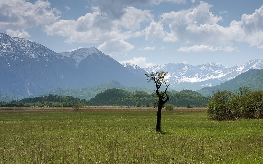
Deutsch: Das Murnauer Moos liegt am Nordrand der bayerischen Alpen und südlich von Murnau und Staffelsee. Es stellt mit 32 km² das größte zusammenhängende Moorgebiet Mitteleuropas dar.
English: Based on the northern edge of the bavarian Alps and south of the city Murnau, the Murnauer Moos forms with 32 km² the biggest connected bogs of Central Europe |
| Date | |
| Source | Own work |
| Author |
Richard Bartz, Munich aka Makro Freak |
| Permission (Reusing this file) |
This file is licensed under the Creative Commons Attribution-Share Alike 2.5 Generic license.
|
| Other versions |
   |
This image has been assessed using the Quality image guidelines and is considered a Quality image.
|
File history
Click on a date/time to view the file as it appeared at that time.
| Date/Time | Dimensions | User | Comment | |
|---|---|---|---|---|
| current | 06:28, 13 May 2008 | 1,920 × 1,200 (1.95 MB) | Richard Bartz | {{Location|47|39|0.8676|N|11|8|22.6392|E}} {{Information |Description = {{de|Das '''Murnauer Moos''' liegt am Nordrand der bayerischen Alpen und südlich von Murnau und Staffelsee. Es stellt mit 32 km² das größte zusammenhängende Moorgebiet Mitteleur |
File usage
The following page uses this file: