File:NOAA chart 25664 1976 detail.png
Size of this preview: 716 × 600 pixels. Other resolutions: 287 × 240 pixels | 573 × 480 pixels | 906 × 759 pixels.
Original file (906 × 759 pixels, file size: 1.19 MB, MIME type: image/png)
| This is a file from the Wikimedia Commons. The description on its description page there is shown below.
|
Summary
| Description |
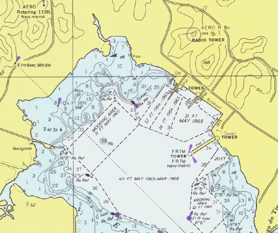
Detail of United States National Oceanic and Atmospheric Administration (NOAA) chart 25664 - Pasaje de Vieques and Radas Roosevelt, Puerto Rico. |
|||
| Date | ||||
| Source | Scanned by NOAA and provided through NOAA's Office of Coast Survey Historical Map and Chart Collection. Converted and clipped by the uploader. | |||
| Author | National Oceanic and Atmospheric Administration | |||
| Permission (Reusing this file) |
|
File history
Click on a date/time to view the file as it appeared at that time.
| Date/Time | Dimensions | User | Comment | |
|---|---|---|---|---|
| current | 15:27, 1 January 2006 | 906 × 759 (1.19 MB) | Cdc~commonswiki | Detail of United States National Oceanic and Atmospheric Administration (NOAA) chart 25664 - Pasaje de Vieques and Radas Roosevelt, Puerto Rico. This is from an outdated 1976 version of this chart; scanned by NOAA and provided through NOAA's Office of C |
File usage
The following page uses this file: