File:Omagari district Daisen city center area Aerial photograph.1976.jpg

Size of this preview: 466 × 599 pixels. Other resolutions: 186 × 240 pixels | 373 × 480 pixels | 466 × 600 pixels | 597 × 768 pixels | 796 × 1,024 pixels | 5,793 × 7,451 pixels.
Original file (5,793 × 7,451 pixels, file size: 32.99 MB, MIME type: image/jpeg)
| This is a file from the Wikimedia Commons. The description on its description page there is shown below.
|
Summary
| Description |
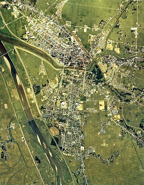
English: Omagari district Daisen city center area Aerial photograph.1976
日本語: 大曲地区(秋田県大仙市)周辺の空中写真。cto-76-8_c4cの8,9,10、cto-76-8_c5cの24,25,26、cto-76-8_c6aの53,54,55、合計9枚を合成作成。 |
| Date | |
| Source | 国土情報ウェブマッピングシステム |
| Author | 国土交通省 |
Licensing

|
The copyright holder of this file, the Ministry of Land, Infrastructure, Transport and Tourism of Japan, allows anyone to use it for any purpose, provided that the copyright holder is properly attributed. Redistribution, derivative work, commercial use, and all other use is permitted. |
Attribution:
Copyright © National Land Image Information (Color Aerial Photographs), Ministry of Land, Infrastructure, Transport and Tourism
|
 |
This image is copyrighted by the Ministry of Land, Infrastructure, Transport and Tourism of Japan. For terms of use, see the stipulation to use of National Land Information (in Japanese) and message from MLIT (in Japanese and English). When you display this image on an article, include the following phrase in the description: "Made based on National Land Image Information (Color Aerial Photographs), Ministry of Land, Infrastructure, Transport and Tourism".
|
File history
Click on a date/time to view the file as it appeared at that time.
| Date/Time | Dimensions | User | Comment | |
|---|---|---|---|---|
| current | 23:28, 12 December 2013 | 5,793 × 7,451 (32.99 MB) | さかおり | {{Information |Description ={{en|1=Omagari district Daisen city center area Aerial photograph.1976}} {{ja|1=大曲地区(秋田県大仙市)周辺の空中写真。cto-76-8_c4cの8,9,10、cto-76-8_c5cの24,25,26、cto-76-8_c6aの53,54,55、合�... |
File usage
The following page uses this file: