File:Palmetto Park Rd and Mizner Blvd 2.jpg
Size of this preview: 800 × 455 pixels. Other resolutions: 320 × 182 pixels | 640 × 364 pixels | 1,024 × 583 pixels | 1,280 × 729 pixels | 4,258 × 2,424 pixels.
Original file (4,258 × 2,424 pixels, file size: 5.8 MB, MIME type: image/jpeg)
| This is a file from the Wikimedia Commons. The description on its description page there is shown below.
|
Summary
| Description |
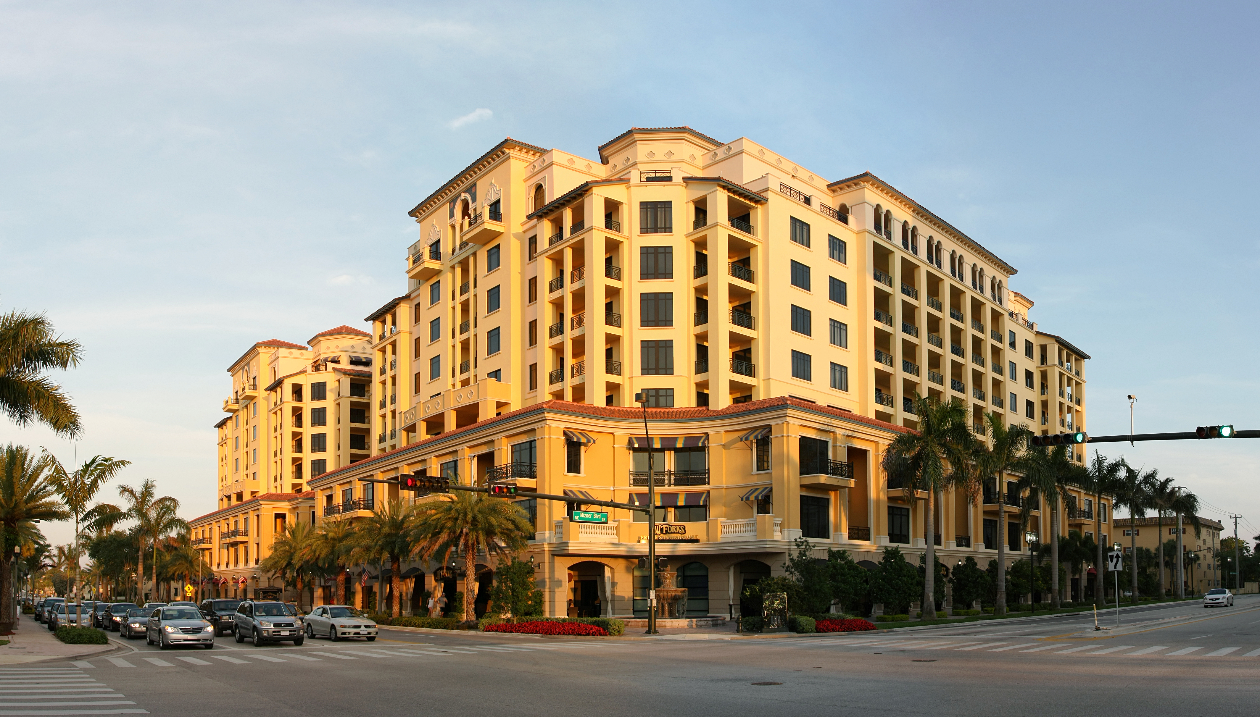
English: Palmetto Park Rd and Mizner Blvd intersection in Boca raton, Florida.
Français : Croisement de Palmetto Park Rd et de Mizner Blvd à Boca Raton, en Floride.
This image was created with Hugin. |
| Date | |
| Source | Own work |
| Author | Ianaré Sévi |
| Permission (Reusing this file) |
This image was created by Ianaré Sévi. Some rights are reserved, see license details. Special permissions : Non-profit uses (non-commercial academia, non-profit groups, Open Source projects, etc) are not required to follow the Share Alike requirement, but any for-profit use must do so. If you wish to use this image commercially without the Share Alike requirement, please contact me to negotiate licensing. Any other use is strictly prohibited by international copyright law. |
| Camera location | | View this and other nearby images on: OpenStreetMap |
|---|
Licensing
I, the copyright holder of this work, hereby publish it under the following licenses:

|
Permission is granted to copy, distribute and/or modify this document under the terms of the GNU Free Documentation License, Version 1.2 or any later version published by the Free Software Foundation; with no Invariant Sections, no Front-Cover Texts, and no Back-Cover Texts. A copy of the license is included in the section entitled GNU Free Documentation License. |
This file is licensed under the Creative Commons Attribution-Share Alike 3.0 Unported, 2.5 Generic, 2.0 Generic and 1.0 Generic license.
- You are free:
- to share – to copy, distribute and transmit the work
- to remix – to adapt the work
- Under the following conditions:
- attribution – You must give appropriate credit, provide a link to the license, and indicate if changes were made. You may do so in any reasonable manner, but not in any way that suggests the licensor endorses you or your use.
- share alike – If you remix, transform, or build upon the material, you must distribute your contributions under the same or compatible license as the original.
You may select the license of your choice.
This image has been assessed using the Quality image guidelines and is considered a Quality image.
|
File history
Click on a date/time to view the file as it appeared at that time.
| Date/Time | Dimensions | User | Comment | |
|---|---|---|---|---|
| current | 21:09, 22 April 2010 | 4,258 × 2,424 (5.8 MB) | Ianare | crop |
File usage
The following page uses this file: