File:Parish Church of St Mark, Swindon New Town - geograph.org.uk - 710358.jpg
No higher resolution available.
Parish_Church_of_St_Mark,_Swindon_New_Town_-_geograph.org.uk_-_710358.jpg (640 × 480 pixels, file size: 106 KB, MIME type: image/jpeg)
| This is a file from the Wikimedia Commons. The description on its description page there is shown below.
|
Summary
| Description |
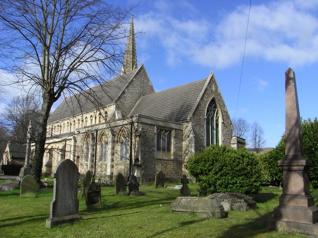
English: Parish Church of St Mark, Swindon New Town This is the new town of Brunel and Gooch from the 1840s and nothing as recent as Redditch, MK or Telford. The Church is on the edge of the works and railway village. This pleasing aspect has not been posted yet. |
| Date | |
| Source | From geograph.org.uk |
| Author | Chris Allen |
| Attribution (required by the license) | Chris Allen / Parish Church of St Mark, Swindon New Town / |
| Camera location | | View this and other nearby images on: OpenStreetMap |
|---|
_heading:270.00&language=en)
| Object location | | View this and other nearby images on: OpenStreetMap |
|---|
_heading:270.00&language=en)
Licensing

|
This image was taken from the Geograph project collection. See this photograph's page on the Geograph website for the photographer's contact details. The copyright on this image is owned by Chris Allen and is licensed for reuse under the Creative Commons Attribution-ShareAlike 2.0 license.
|
This file is licensed under the Creative Commons Attribution-Share Alike 2.0 Generic license.
Attribution: Chris Allen
- You are free:
- to share – to copy, distribute and transmit the work
- to remix – to adapt the work
- Under the following conditions:
- attribution – You must give appropriate credit, provide a link to the license, and indicate if changes were made. You may do so in any reasonable manner, but not in any way that suggests the licensor endorses you or your use.
- share alike – If you remix, transform, or build upon the material, you must distribute your contributions under the same or compatible license as the original.
File history
Click on a date/time to view the file as it appeared at that time.
| Date/Time | Dimensions | User | Comment | |
|---|---|---|---|---|
| current | 19:01, 18 February 2011 | 640 × 480 (106 KB) | GeographBot | == {{int:filedesc}} == {{Information |description={{en|1=Parish Church of St Mark, Swindon New Town This is the new town of Brunel and Gooch from the 1840s and nothing as recent as Redditch, MK or Telford. The Church is on the edge of the works and railwa |
File usage
The following page uses this file: