File:Plateau Mont-Royal.jpg
Size of this preview: 800 × 548 pixels. Other resolutions: 320 × 219 pixels | 640 × 439 pixels | 1,024 × 702 pixels | 1,280 × 877 pixels | 2,435 × 1,669 pixels.
Original file (2,435 × 1,669 pixels, file size: 2.84 MB, MIME type: image/jpeg)
| This is a file from the Wikimedia Commons. The description on its description page there is shown below.
|
Summary
| Description |
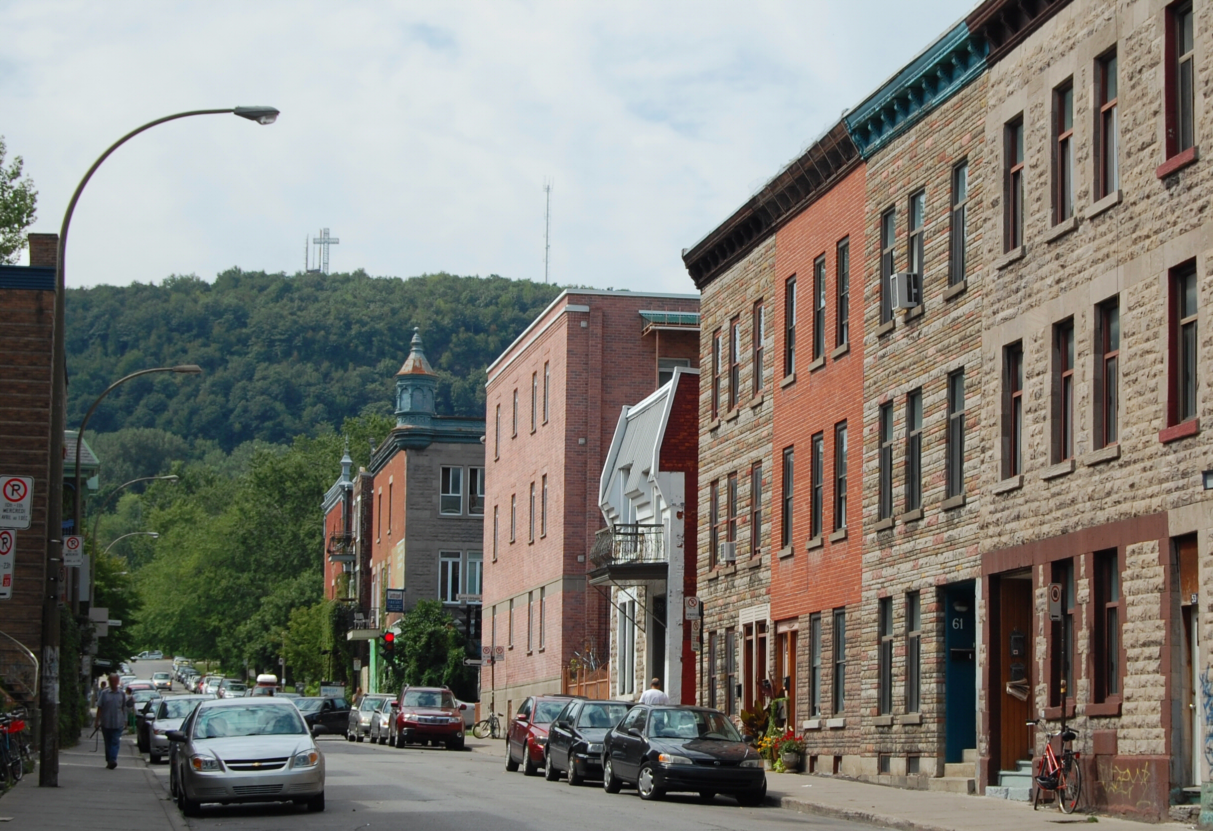
Français : Le plateau Mont-Royal, au coin de la rue Clark et de l'avenue Duluth, à Montréal. À l'arrière plan, le mont Royal et sa croix.
English: The Plateau Mont-Royal neighborhood, at the corner of Clark street and Duluth avenue, in Montreal. In the background, Mount Royal and its cross |
| Date | |
| Source | Own work |
| Author | Chicoutimi |
| Permission (Reusing this file) |
Own work, all rights released (Public domain) |
| Camera location | | View this and other nearby images on: OpenStreetMap |
|---|
Licensing
| I, the copyright holder of this work, release this work into the public domain. This applies worldwide. In some countries this may not be legally possible; if so: I grant anyone the right to use this work for any purpose, without any conditions, unless such conditions are required by law. |
File history
Click on a date/time to view the file as it appeared at that time.
| Date/Time | Dimensions | User | Comment | |
|---|---|---|---|---|
| current | 15:42, 2 September 2009 | 2,435 × 1,669 (2.84 MB) | Adqproductions | {{Information |Description=Plateau Mont-Royal |Source=travail personnel |Date= |Author=Chicoutimi |Permission=Own work, all rights released (Public domain) |other_versions= }} {{PD-self}} Category:Maps of Montreal Category:Plateau Mont-Royal |
File usage
The following page uses this file: