File:Poland 1918.png
Size of this preview: 591 × 600 pixels. Other resolutions: 237 × 240 pixels | 473 × 480 pixels | 900 × 913 pixels.
Original file (900 × 913 pixels, file size: 102 KB, MIME type: image/png)
| This is a file from the Wikimedia Commons. The description on its description page there is shown below.
|
Summary
| Description |
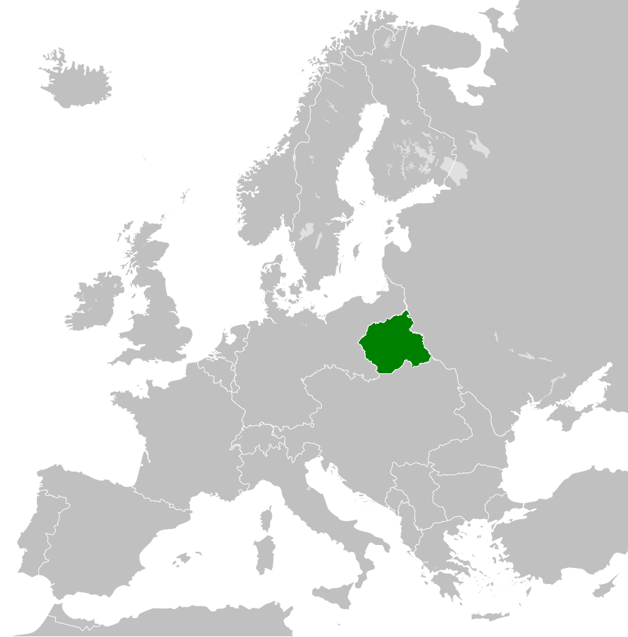
Polski: Położenie Królestwa Polskiego w Europie w 1918 roku. Mapa nie uwzględnia terenów okupowanych w trakcie I wojny światowej English: Localisation of Kingdom of Poland in 1918. |
| Date | |
| Source | Own work |
| Author | Pogo91 |
Licensing
I, the copyright holder of this work, hereby publish it under the following license:
This file is licensed under the Creative Commons Attribution-Share Alike 3.0 Unported license.
- You are free:
- to share – to copy, distribute and transmit the work
- to remix – to adapt the work
- Under the following conditions:
- attribution – You must give appropriate credit, provide a link to the license, and indicate if changes were made. You may do so in any reasonable manner, but not in any way that suggests the licensor endorses you or your use.
- share alike – If you remix, transform, or build upon the material, you must distribute your contributions under the same or compatible license as the original.
File history
Click on a date/time to view the file as it appeared at that time.
| Date/Time | Dimensions | User | Comment | |
|---|---|---|---|---|
| current | 10:32, 12 June 2015 | 900 × 913 (102 KB) | Pogo91 | Właściwa granica Finlandii |
File usage
The following page uses this file: