File:Ponte Sérgio Motta em 26 de fevereiro de 2018.jpg

Size of this preview: 800 × 449 pixels. Other resolutions: 320 × 180 pixels | 640 × 360 pixels | 1,024 × 575 pixels | 1,280 × 719 pixels | 5,488 × 3,083 pixels.
Original file (5,488 × 3,083 pixels, file size: 4.52 MB, MIME type: image/jpeg)
| This is a file from the Wikimedia Commons. The description on its description page there is shown below.
|
Summary
| Description |
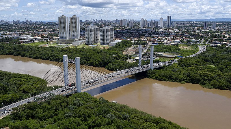
Português: Vista da Ponte Sérgio Motta, entre as cidades de Várzea Grande e Cuiabá |
| Date | |
| Source | https://www.flickr.com/photos/mturdestinos/26085579717/in/album-72157691695341832/ |
| Author | Flavio Andre/MTur |
| Camera location | | View this and other nearby images on: OpenStreetMap |
|---|
Licensing

|
The copyright holder of this file, MTur Destinos, allows anyone to use it for any purpose, provided that the copyright holder is properly attributed. Redistribution, derivative work, commercial use, and all other use is permitted. |
Attribution:
MTur Destinos
|
|
|
Todas as fotos com a tag MTurDestinos são de domínio público e tem permissão de uso livre e por tempo indeterminado para uso total e irrestrito e gratuito em praça nacional e internacional, exceto as imagens com a tag “fotos humanizadas 2018” que possuem pessoas onde o direito de uso é pelo período de 05 (cinco) anos a contar do dia 03 de Abril de 2018.
|
|
|
File history
Click on a date/time to view the file as it appeared at that time.
| Date/Time | Dimensions | User | Comment | |
|---|---|---|---|---|
| current | 11:36, 10 July 2020 | 5,488 × 3,083 (4.52 MB) | Cimamaga | Uploaded a work by Flavio Andre/MTur from https://www.flickr.com/photos/mturdestinos/26085579717/in/album-72157691695341832/ with UploadWizard |
File usage
The following page uses this file: