File:Port Maria Mile marker 20231007 120930.jpg
Size of this preview: 800 × 450 pixels. Other resolutions: 320 × 180 pixels | 640 × 360 pixels | 1,024 × 577 pixels | 1,280 × 721 pixels | 4,000 × 2,252 pixels.
Original file (4,000 × 2,252 pixels, file size: 3.57 MB, MIME type: image/jpeg)
| This is a file from the Wikimedia Commons. The description on its description page there is shown below.
|
Summary
| Description |
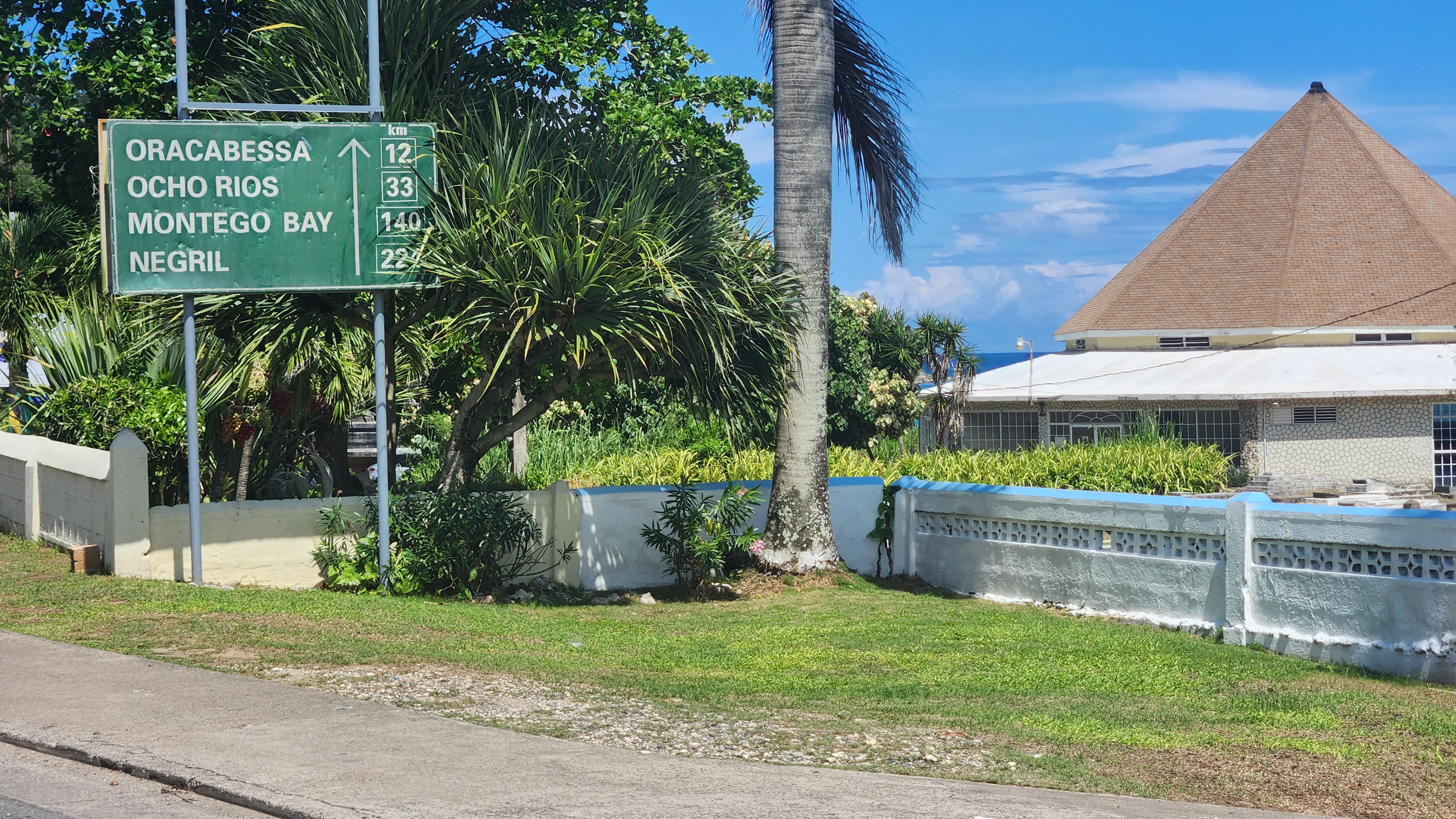
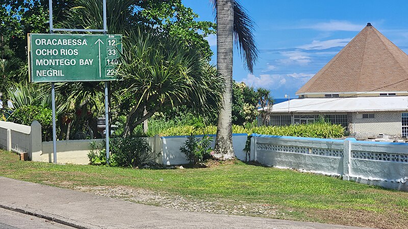
English: Mile sign, Port Maria Court House, landmarked building in Port Maria, now the Port Maria Civic Centre |
| Date | |
| Source | Own work |
| Author | CaptJayRuffins |
| Camera location | | View this and other nearby images on: OpenStreetMap |
|---|
the St Mary courthouse, a Georgian structure built in 1820 which now houses the Port Maria civic centre. Mile markers are throughout the island.
Licensing
I, the copyright holder of this work, hereby publish it under the following license:
This file is licensed under the Creative Commons Attribution-Share Alike 4.0 International license.
- You are free:
- to share – to copy, distribute and transmit the work
- to remix – to adapt the work
- Under the following conditions:
- attribution – You must give appropriate credit, provide a link to the license, and indicate if changes were made. You may do so in any reasonable manner, but not in any way that suggests the licensor endorses you or your use.
- share alike – If you remix, transform, or build upon the material, you must distribute your contributions under the same or compatible license as the original.
File history
Click on a date/time to view the file as it appeared at that time.
| Date/Time | Dimensions | User | Comment | |
|---|---|---|---|---|
| current | 09:38, 19 October 2023 | 4,000 × 2,252 (3.57 MB) | CaptJayRuffins | Uploaded own work with UploadWizard |
File usage
The following page uses this file: