File:Portugal Madeira location map.svg

Size of this PNG preview of this SVG file: 698 × 599 pixels. Other resolutions: 280 × 240 pixels | 559 × 480 pixels | 699 × 600 pixels | 895 × 768 pixels | 1,193 × 1,024 pixels | 1,590 × 1,365 pixels.
Original file (SVG file, nominally 1,590 × 1,365 pixels, file size: 103 KB)
| This is a file from the Wikimedia Commons. The description on its description page there is shown below.
|
Summary
| Description |
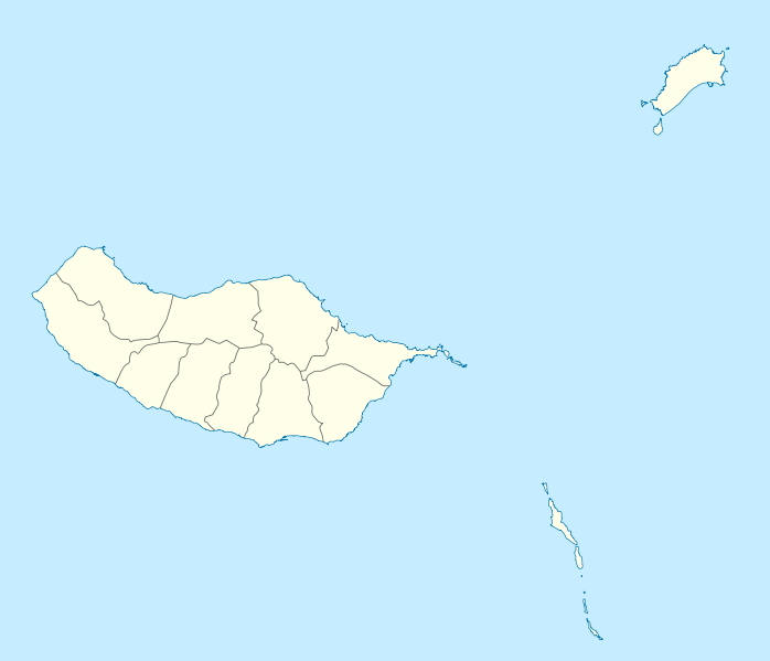
Geographische Begrenzung der Karte:
Geographic limits of the map:
|
||||||||||||
| Date | |||||||||||||
| Source | Own work | ||||||||||||
| Author | NordNordWest | ||||||||||||
| Permission (Reusing this file) |
|
||||||||||||
| Other versions |
Derivative works of this file: |
||||||||||||
| SVG development | This W3C-invalid map was created with an unknown SVG tool.
|

File history
Click on a date/time to view the file as it appeared at that time.
| Date/Time | Dimensions | User | Comment | |
|---|---|---|---|---|
| current | 08:41, 19 December 2009 | 1,590 × 1,365 (103 KB) | NordNordWest | == {{int:filedesc}} == {{Information |Description= {{de|Positionskarte von Madeira, Portugal}} Geographische Begrenzung der Karte: * N: 33.16° N * S: 32.38° N * W: 17.31° W * O: 16.23° W {{en|Location map of [[:en:Made |
File usage
There are no pages that use this file.