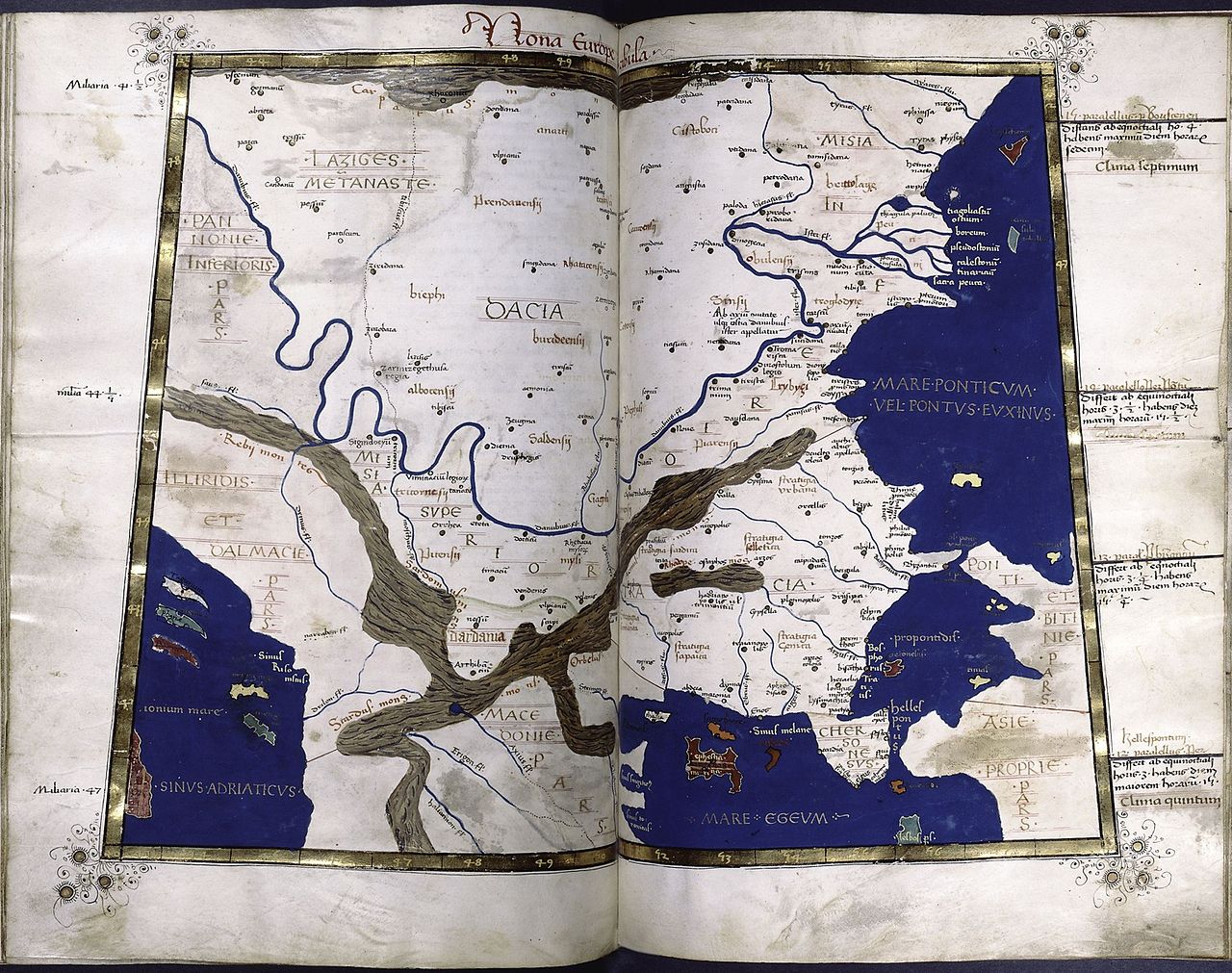
File:Ptolemy Cosmographia Dacia+Danube.jpg

Size of this preview: 759 × 599 pixels. Other resolutions: 304 × 240 pixels | 608 × 480 pixels | 760 × 600 pixels | 973 × 768 pixels | 1,280 × 1,011 pixels | 1,536 × 1,213 pixels.
Original file (1,536 × 1,213 pixels, file size: 599 KB, MIME type: image/jpeg)
| This is a file from the Wikimedia Commons. The description on its description page there is shown below.
|
Summary
| Description | |
| Date | 15th century |
| Source | Medieval book |
| Author | Ptolemy |
| Other versions |
Derivative works of this file: |
| Similar maps |
Licensing
|
This is a faithful photographic reproduction of a two-dimensional, public domain work of art. The work of art itself is in the public domain for the following reason:
The official position taken by the Wikimedia Foundation is that "faithful reproductions of two-dimensional public domain works of art are public domain".
This photographic reproduction is therefore also considered to be in the public domain in the United States. In other jurisdictions, re-use of this content may be restricted; see Reuse of PD-Art photographs for details. | ||||
File history
Click on a date/time to view the file as it appeared at that time.
| Date/Time | Dimensions | User | Comment | |
|---|---|---|---|---|
| current | 00:42, 18 February 2008 | 1,536 × 1,213 (599 KB) | Vissarion | {{Information |Description=Map of Dacia and Danube |Source=[http://soltdm.com/sources/mss/ptol/imags/balc1.jpg] |Date=XV c. |Author=after Ptolemy (Geographia): 1st/2nd c. AD |Permission={{PD-Art}} |other_versions= }} == Licensing == [[Category:Ptolemy ma |
File usage
The following page uses this file: