File:Red Fort, New Delhi Inside Map.jpg
Size of this preview: 800 × 600 pixels. Other resolutions: 320 × 240 pixels | 640 × 480 pixels | 1,024 × 768 pixels | 1,280 × 960 pixels | 3,264 × 2,448 pixels.
Original file (3,264 × 2,448 pixels, file size: 2.92 MB, MIME type: image/jpeg)
| This is a file from the Wikimedia Commons. The description on its description page there is shown below.
|
Summary
| Description |
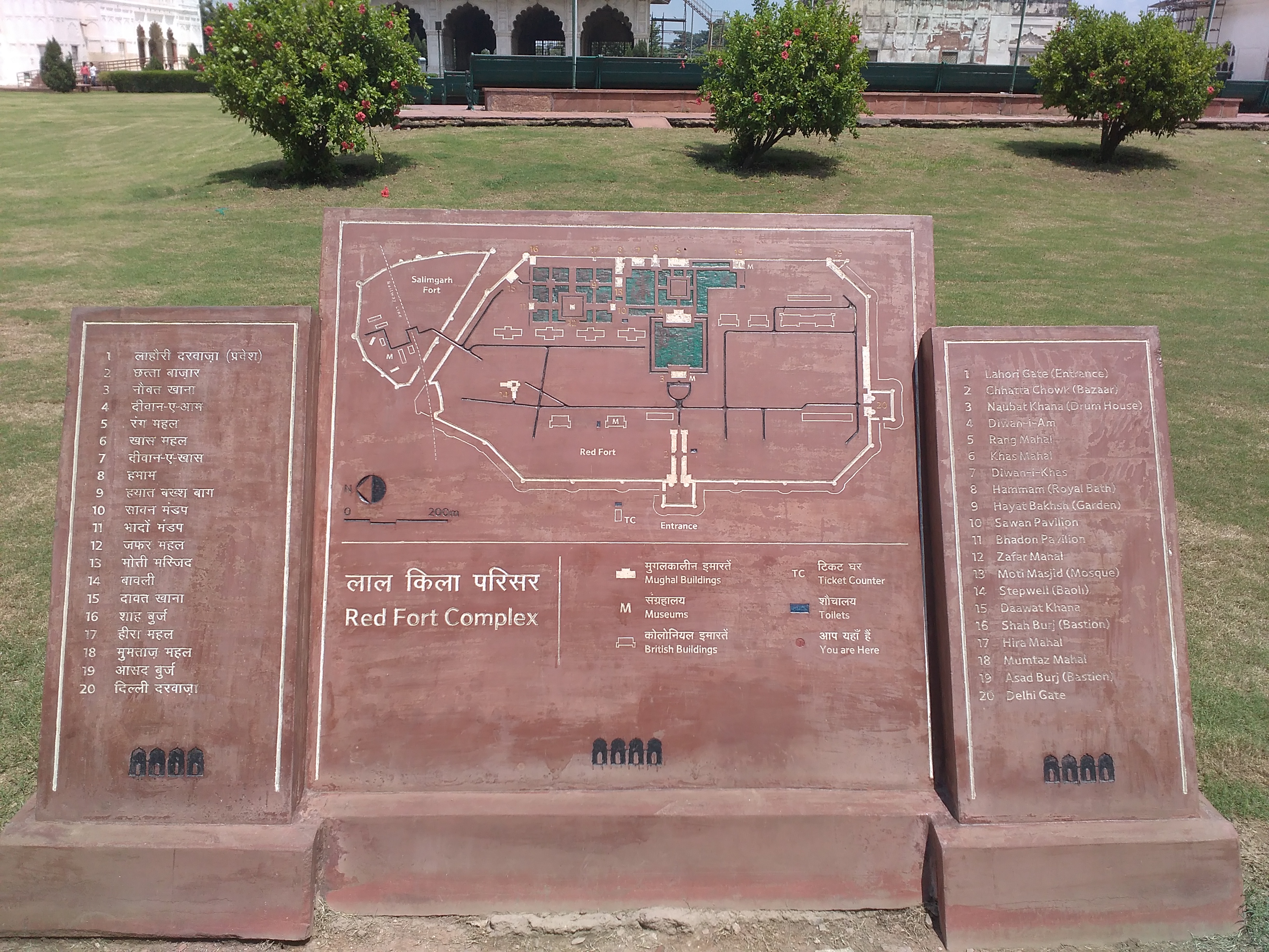
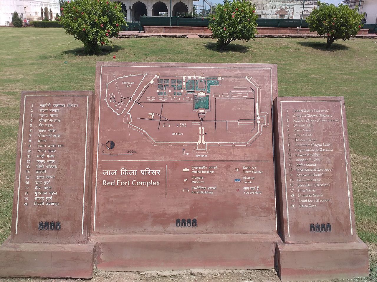
English: Red Fort, which includes Naubat Khana, Diwan-i-Am, Mumtaz Mahal, Rang Mahal, Baithak, Muthamman Burj, Diwan-i-Khas, Moti Masjid, Sawan and Bhadon, Shahi Burj, Hammam with all surrounding including the gardens, paths, terraces and water courses. Built 1638 - 1648 CE
|
||
| Date | |||
| Source | Own work | ||
| Author | Lector Voraz |
| Camera location | | View this and other nearby images on: OpenStreetMap |
|---|
Licensing
I, the copyright holder of this work, hereby publish it under the following license:
This file is licensed under the Creative Commons Attribution-Share Alike 4.0 International license.
- You are free:
- to share – to copy, distribute and transmit the work
- to remix – to adapt the work
- Under the following conditions:
- attribution – You must give appropriate credit, provide a link to the license, and indicate if changes were made. You may do so in any reasonable manner, but not in any way that suggests the licensor endorses you or your use.
- share alike – If you remix, transform, or build upon the material, you must distribute your contributions under the same or compatible license as the original.

|
This image was uploaded as part of Wiki Loves Monuments 2016.
|
 |
File history
Click on a date/time to view the file as it appeared at that time.
| Date/Time | Dimensions | User | Comment | |
|---|---|---|---|---|
| current | 23:14, 31 August 2016 | 3,264 × 2,448 (2.92 MB) | Lector Voraz | User created page with UploadWizard |
File usage
The following page uses this file: