File:Repuk Makalu Barun Valley Nepal.jpg

Size of this preview: 622 × 600 pixels. Other resolutions: 249 × 240 pixels | 498 × 480 pixels | 797 × 768 pixels | 1,062 × 1,024 pixels | 1,980 × 1,909 pixels.
Original file (1,980 × 1,909 pixels, file size: 3.39 MB, MIME type: image/jpeg)
| This is a file from the Wikimedia Commons. The description on its description page there is shown below.
|
Summary
| Description |
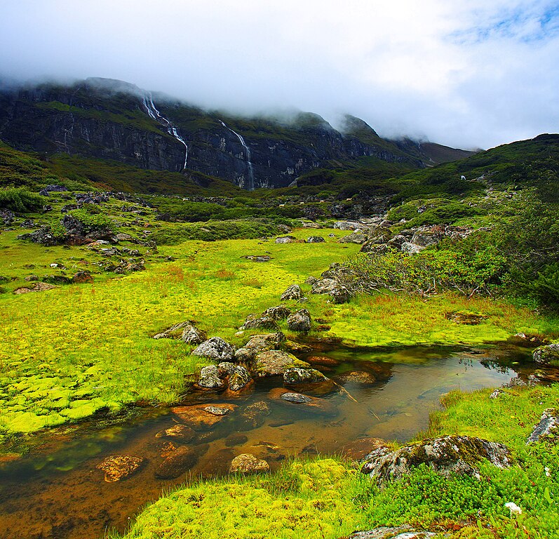
English: This is a place called Ripuk within the Barun Valley. Centuries ago, Barun used to be a glacier here, flowing to the north composing these lush green valleys for today. The cascading waterfalls against the stiff rocks was reflecting the sense of the flowing time and the eternity at the same time. |
| Date | |
| Source | Own work |
| Author | Dhilung |
| Other versions | https://www.flickr.com/photos/dhilung/3919034860/ |
| Camera location | | View this and other nearby images on: OpenStreetMap |
|---|
Licensing
I, the copyright holder of this work, hereby publish it under the following license:
This file is licensed under the Creative Commons Attribution 3.0 Unported license.
- You are free:
- to share – to copy, distribute and transmit the work
- to remix – to adapt the work
- Under the following conditions:
- attribution – You must give appropriate credit, provide a link to the license, and indicate if changes were made. You may do so in any reasonable manner, but not in any way that suggests the licensor endorses you or your use.
File history
Click on a date/time to view the file as it appeared at that time.
| Date/Time | Dimensions | User | Comment | |
|---|---|---|---|---|
| current | 15:20, 16 January 2010 | 1,980 × 1,909 (3.39 MB) | Dhilung | Without watermark removed. GPS info embedded. |
File usage
The following 2 pages use this file: