File:River Chess at Waterside, Chesham - geograph.org.uk - 407585.jpg
No higher resolution available.
River_Chess_at_Waterside,_Chesham_-_geograph.org.uk_-_407585.jpg (640 × 480 pixels, file size: 117 KB, MIME type: image/jpeg)
| This is a file from the Wikimedia Commons. The description on its description page there is shown below.
|
Summary
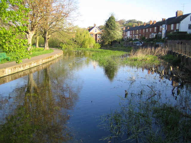
| Description |
English: River Chess at Waterside, Chesham. Thirteen months on from 131737 and the River Chess now has at least half a metre of water in it. This is taken from the same footbridge but looking in the opposite direction and upstream. |
| Date | |
| Source | From geograph.org.uk |
| Author | Nigel Cox |
| Attribution (required by the license) | Nigel Cox / River Chess at Waterside, Chesham / |
| Camera location | | View this and other nearby images on: OpenStreetMap |
|---|
_heading:315.00&language=en)
| Object location | | View this and other nearby images on: OpenStreetMap |
|---|
_heading:315.00&language=en)
Licensing

|
This image was taken from the Geograph project collection. See this photograph's page on the Geograph website for the photographer's contact details. The copyright on this image is owned by Nigel Cox and is licensed for reuse under the Creative Commons Attribution-ShareAlike 2.0 license.
|
This file is licensed under the Creative Commons Attribution-Share Alike 2.0 Generic license.
Attribution: Nigel Cox
- You are free:
- to share – to copy, distribute and transmit the work
- to remix – to adapt the work
- Under the following conditions:
- attribution – You must give appropriate credit, provide a link to the license, and indicate if changes were made. You may do so in any reasonable manner, but not in any way that suggests the licensor endorses you or your use.
- share alike – If you remix, transform, or build upon the material, you must distribute your contributions under the same or compatible license as the original.
File history
Click on a date/time to view the file as it appeared at that time.
| Date/Time | Dimensions | User | Comment | |
|---|---|---|---|---|
| current | 15:34, 3 February 2011 | 640 × 480 (117 KB) | GeographBot | == {{int:filedesc}} == {{Information |description={{en|1=River Chess at Waterside, Chesham Thirteen months on from 131737 and the River Chess now has at least half a metre of water in it. This is taken from the same footbridge but looking in the oppos |
File usage
The following page uses this file: