File:Rosemont, Illinois (9181752592).jpg
Original file (4,000 × 3,000 pixels, file size: 2.31 MB, MIME type: image/jpeg)
| This is a file from the Wikimedia Commons. The description on its description page there is shown below.
|
.jpg)
Summary
| Description |
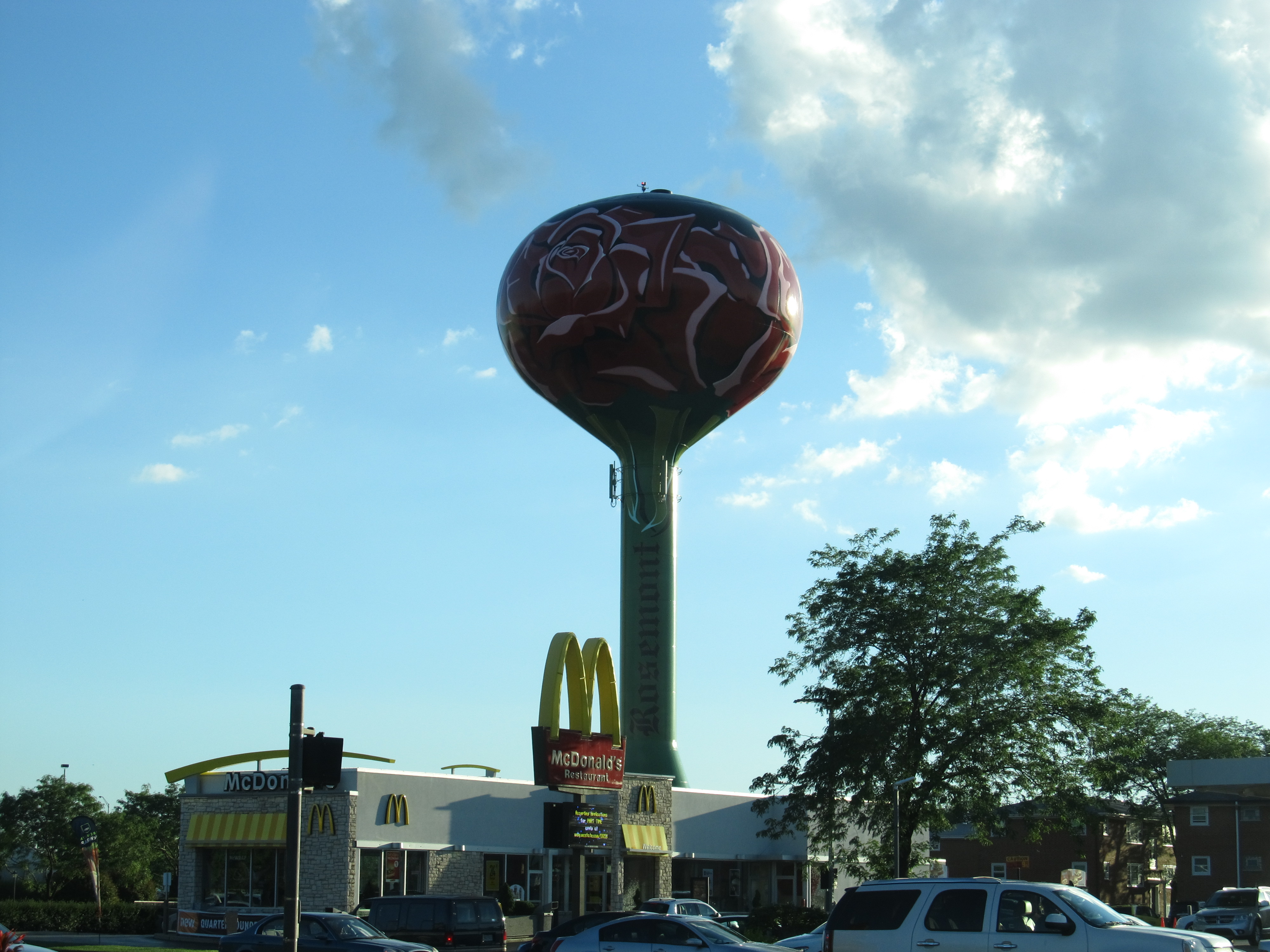
Rosemont is a village in Cook County, Illinois, United States, located immediately northwest of Chicago. As of the 2010 census it had a population of 4,202. The village was incorporated in 1956, though it had been settled long before that. While Rosemont's land area and population are relatively small among municipalities in the Chicago Metropolitan Area, the village is a major center for commercial activity in the region and is a key component of the Golden Corridor. Numerous corporate facilities and the 840,000-square-foot (78,000 m2) Donald E. Stephens Convention Center are located in Rosemont. Rosemont is a gated community as a result of the 1995 decision by residents to enclose the residential portions of the city (roughly half the area of the city), thereby restricting access to locals only and keeping out passersby. en.wikipedia.org/wiki/Rosemont,_Illinois en.wikipedia.org/wiki/Wikipedia:Text_of_Creative_Commons_... |
| Date | |
| Source | Rosemont, Illinois |
| Author | Ken Lund from Reno, Nevada, USA |
| Camera location | | View this and other nearby images on: OpenStreetMap |
|---|
.jpg¶ms=041.991115_N_-087.859897_E_globe:Earth_type:camera_source:Flickr_&language=en)
Licensing
- You are free:
- to share – to copy, distribute and transmit the work
- to remix – to adapt the work
- Under the following conditions:
- attribution – You must give appropriate credit, provide a link to the license, and indicate if changes were made. You may do so in any reasonable manner, but not in any way that suggests the licensor endorses you or your use.
- share alike – If you remix, transform, or build upon the material, you must distribute your contributions under the same or compatible license as the original.
| This image was originally posted to Flickr by Ken Lund at https://flickr.com/photos/75683070@N00/9181752592. It was reviewed on 2 March 2017 by FlickreviewR and was confirmed to be licensed under the terms of the cc-by-sa-2.0. |
File history
Click on a date/time to view the file as it appeared at that time.
| Date/Time | Dimensions | User | Comment | |
|---|---|---|---|---|
| current | 19:57, 1 March 2017 | 4,000 × 3,000 (2.31 MB) | Victorgrigas | Transferred from Flickr via Flickr2Commons |
File usage
The following page uses this file:
.jpg)