File:Ruined croft Boreraig, Skye - geograph.org.uk - 136318.jpg
No higher resolution available.
Ruined_croft_Boreraig,_Skye_-_geograph.org.uk_-_136318.jpg (532 × 379 pixels, file size: 29 KB, MIME type: image/jpeg)
| This is a file from the Wikimedia Commons. The description on its description page there is shown below.
|
| Description |
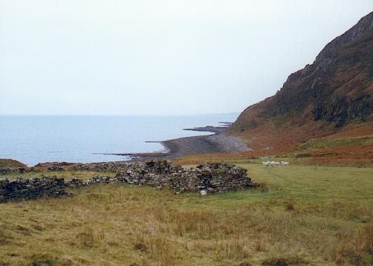
English: Ruined croft Boreraig, Skye. Part of the old village of Boreraig which was cleared in the 1850's. |
||
| Date | |||
| Source | From geograph.org.uk | ||
| Author | Gordon Hatton | ||
| Permission (Reusing this file) |
This file is licensed under the Creative Commons Attribution-Share Alike 2.0 Generic license. Attribution: Gordon Hatton
|
||
| Attribution (required by the license) | Gordon Hatton / Ruined croft Boreraig, Skye / | ||

| Object location | | View this and other nearby images on: OpenStreetMap |
|---|
_&language=en)
File history
Click on a date/time to view the file as it appeared at that time.
| Date/Time | Dimensions | User | Comment | |
|---|---|---|---|---|
| current | 14:01, 23 March 2010 | 532 × 379 (29 KB) | Cropbot | upload cropped version, operated by User:Finavon. Summary: border cropped |
File usage
The following page uses this file: