File:Schierstins Veenwouden.jpg
Size of this preview: 486 × 599 pixels. Other resolutions: 195 × 240 pixels | 389 × 480 pixels | 486 × 600 pixels | 623 × 768 pixels | 1,197 × 1,476 pixels.
Original file (1,197 × 1,476 pixels, file size: 777 KB, MIME type: image/jpeg)
| This is a file from the Wikimedia Commons. The description on its description page there is shown below.
|
Summary
|
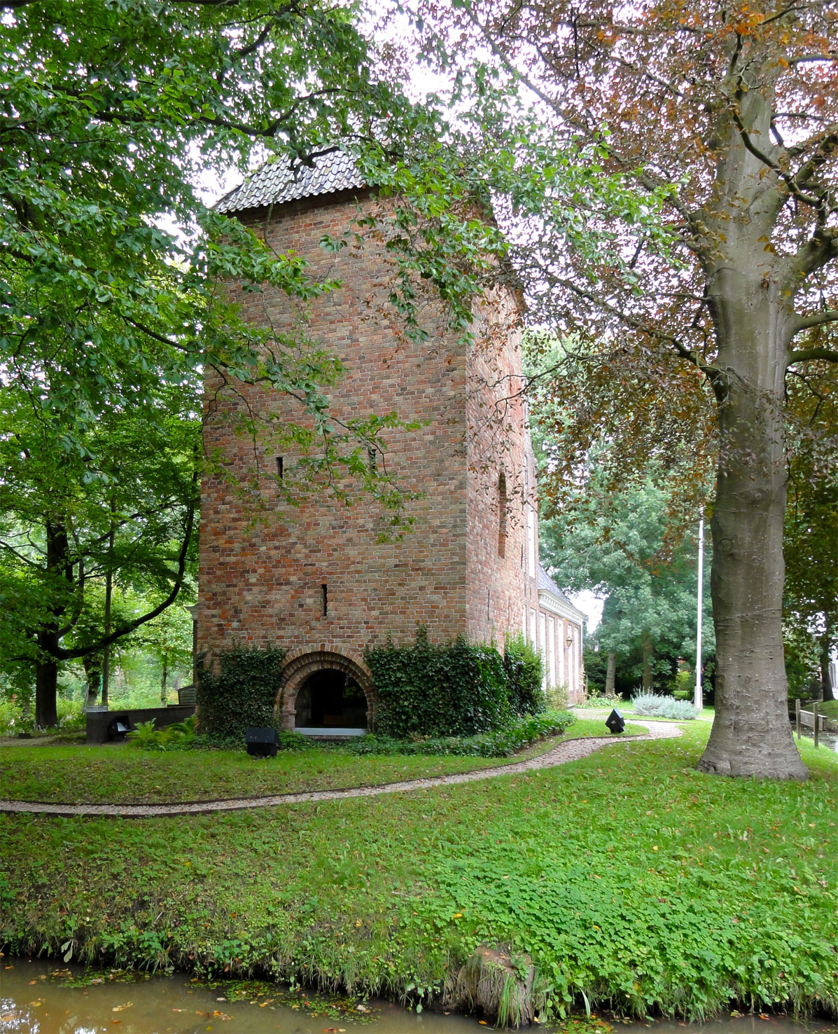
This is an image of rijksmonument number 11700
Information from structured data: |
| Description |
Nederlands: Schierstins Veenwouden |
| Date | |
| Source | Own work |
| Author | Gouwenaar |
| Object location | | View this and other nearby images on: OpenStreetMap |
|---|
Licensing
| I, the copyright holder of this work, release this work into the public domain. This applies worldwide. In some countries this may not be legally possible; if so: I grant anyone the right to use this work for any purpose, without any conditions, unless such conditions are required by law. |
File history
Click on a date/time to view the file as it appeared at that time.
| Date/Time | Dimensions | User | Comment | |
|---|---|---|---|---|
| current | 12:43, 13 September 2010 | 1,197 × 1,476 (777 KB) | Gouwenaar | {{Rijksmonument|11700}} {{Information |Description={{Nl|Schierstins Veenwouden}} |Source={{own}} |Date=2010-09-13 |Author=Gouwenaar |Permission= |other_versions= }} Category:Rijksmonumenten in Dantumadeel |
File usage
The following page uses this file: