File:Schmerling Caves02.JPG
Size of this preview: 800 × 533 pixels. Other resolutions: 320 × 213 pixels | 640 × 427 pixels | 1,024 × 683 pixels | 1,280 × 853 pixels | 4,608 × 3,072 pixels.
Original file (4,608 × 3,072 pixels, file size: 3.61 MB, MIME type: image/jpeg)
| This is a file from the Wikimedia Commons. The description on its description page there is shown below.
|
| Camera location | | View this and other nearby images on: OpenStreetMap |
|---|
| Description |
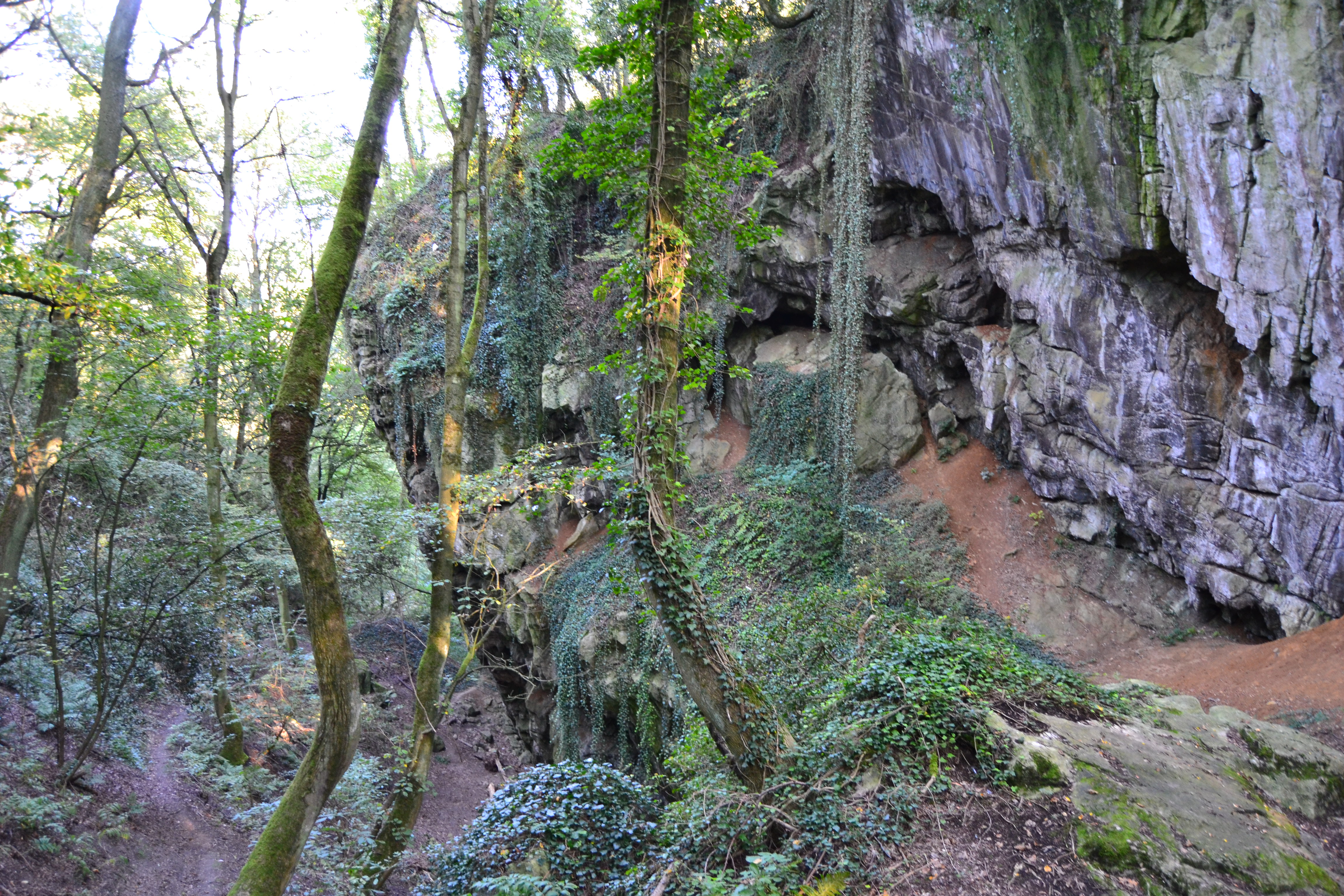
Français : Environs des fr:Grottes Schmerling, lieu de découverte des premiers restes fr:néandertaliens, découvert en 1830 par fr:Philippe-Charles Schmerling, fr:Awirs, fr:Engis / fr:Flémalle, fr:Province de Liège, fr:Belgique
English: Landscape around the Schmerling Caves, place of the first discovered neandertalian remains by Philippe-Charles Schmerling in 1830 - Awirs, Flémalle / Engis, Liège, Belgium |
||
| Date | |||
| Source | Own work | ||
| Author | Utilisateur:Bel Adone | ||
| Permission (Reusing this file) |
|
File history
Click on a date/time to view the file as it appeared at that time.
| Date/Time | Dimensions | User | Comment | |
|---|---|---|---|---|
| current | 10:35, 24 September 2011 | 4,608 × 3,072 (3.61 MB) | Vberger~commonswiki | {{Information |Description ={{en|1=gh}} |Source ={{own}} |Author =Vberger |Date =gf |Permission =gh |other_versions = }} |
File usage
The following page uses this file: