File:Sentier en forêt de Soignes.jpg
Size of this preview: 800 × 498 pixels. Other resolutions: 320 × 199 pixels | 640 × 399 pixels | 1,024 × 638 pixels | 1,280 × 797 pixels | 1,872 × 1,166 pixels.
Original file (1,872 × 1,166 pixels, file size: 926 KB, MIME type: image/jpeg)
| This is a file from the Wikimedia Commons. The description on its description page there is shown below.
|
Summary
| Description |
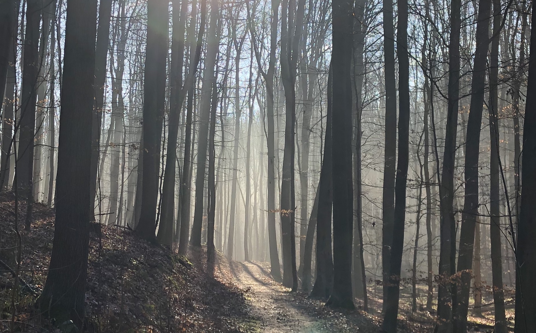
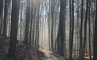
Français : Sentier du Botermans
Nederlands: Botermansdellepad
English: Botermans path |
||
| Date | |||
| Source | Own work | ||
| Author | GdML | ||
| Permission (Reusing this file) |
|

| Camera location | | View this and other nearby images on: OpenStreetMap |
|---|
Licensing
I, the copyright holder of this work, hereby publish it under the following license:
This file is licensed under the Creative Commons Attribution-Share Alike 4.0 International license.
- You are free:
- to share – to copy, distribute and transmit the work
- to remix – to adapt the work
- Under the following conditions:
- attribution – You must give appropriate credit, provide a link to the license, and indicate if changes were made. You may do so in any reasonable manner, but not in any way that suggests the licensor endorses you or your use.
- share alike – If you remix, transform, or build upon the material, you must distribute your contributions under the same or compatible license as the original.
File history
Click on a date/time to view the file as it appeared at that time.
| Date/Time | Dimensions | User | Comment | |
|---|---|---|---|---|
| current | 05:01, 26 February 2019 | 1,872 × 1,166 (926 KB) | GdML | User created page with UploadWizard |
File usage
The following page uses this file: