File:Shimla Southern Side of Ridge.JPG
Size of this preview: 800 × 560 pixels. Other resolutions: 320 × 224 pixels | 640 × 448 pixels | 1,024 × 716 pixels | 1,280 × 895 pixels | 3,424 × 2,395 pixels.
Original file (3,424 × 2,395 pixels, file size: 4.18 MB, MIME type: image/jpeg)
| This is a file from the Wikimedia Commons. The description on its description page there is shown below.
|
Summary
| Description |
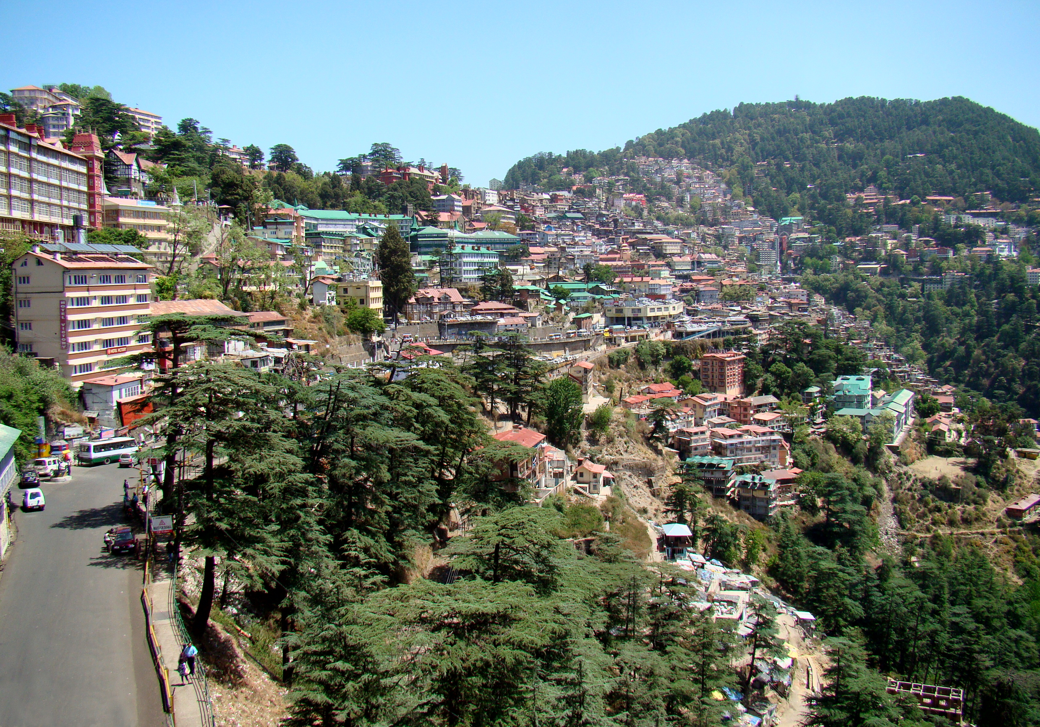
English: The centre of Shimla seen from near the railway station. This part of the city is on the southern side of the ridge. The road starting in the bottom left of the photo goes to the bus terminal just to the right of the center of the photo. Behind it the old town begins, with really steep streets and alleys, continuing up to the ridge, where no cars are allowed. |
| Date | |
| Source | Own work by uploader, http://bjornfree.com/galleries.html |
| Author | Bjørn Christian Tørrissen |
| Camera location | | View this and other nearby images on: OpenStreetMap |
|---|
Licensing
I, the copyright holder of this work, hereby publish it under the following licenses:
This file is licensed under the Creative Commons Attribution-Share Alike 3.0 Unported license.
- You are free:
- to share – to copy, distribute and transmit the work
- to remix – to adapt the work
- Under the following conditions:
- attribution – You must give appropriate credit, provide a link to the license, and indicate if changes were made. You may do so in any reasonable manner, but not in any way that suggests the licensor endorses you or your use.
- share alike – If you remix, transform, or build upon the material, you must distribute your contributions under the same or compatible license as the original.

|
Permission is granted to copy, distribute and/or modify this document under the terms of the GNU Free Documentation License, Version 1.2 or any later version published by the Free Software Foundation; with no Invariant Sections, no Front-Cover Texts, and no Back-Cover Texts. A copy of the license is included in the section entitled GNU Free Documentation License. |
You may select the license of your choice.
File history
Click on a date/time to view the file as it appeared at that time.
| Date/Time | Dimensions | User | Comment | |
|---|---|---|---|---|
| current | 12:07, 19 August 2010 | 3,424 × 2,395 (4.18 MB) | Uspn | {{Information |Description={{en|1=The centre of Shimla seen from near the railway station. This part of the city is on the southern side of the ridge. The road starting in the bottom left of the photo goes to the bus terminal just to the right of the cent |
File usage
The following page uses this file: