File:Situação geográfica de Olivença (1766).jpg
Size of this preview: 800 × 538 pixels. Other resolutions: 320 × 215 pixels | 640 × 430 pixels | 1,024 × 689 pixels | 1,280 × 861 pixels | 1,752 × 1,178 pixels.
Original file (1,752 × 1,178 pixels, file size: 1.46 MB, MIME type: image/jpeg)
| This is a file from the Wikimedia Commons. The description on its description page there is shown below.
|
| Description |
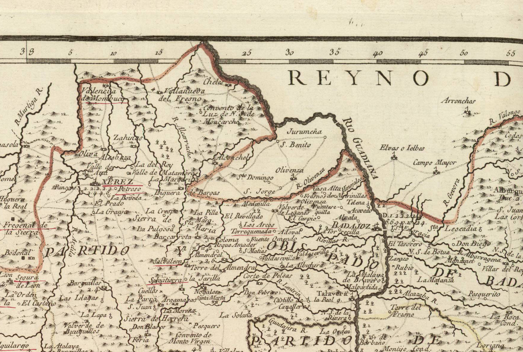
Português: Situação geográfica da comarca de Olivença no Mapa de la provincia de Estremadura (año 1766). Español: Situación geográfica de la comarca de Olivenza en el Mapa de la provincia de Estremadura (año 1773). |
||||||||||||||||||||||||||
| Date | |||||||||||||||||||||||||||
| Source |
Biblioteca Nacional de Portugal: http://purl.pt/785 Mapas de España - Material cartográfico Cota local: C.A. 14 R. |
||||||||||||||||||||||||||
| Author |
|
||||||||||||||||||||||||||
| Permission (Reusing this file) |
|
||||||||||||||||||||||||||
| Institution |
|
||||||||||||||||||||||||||
_Tom%C3%A1s_L%C3%B3pez.jpg)

.jpg)
File history
Click on a date/time to view the file as it appeared at that time.
| Date/Time | Dimensions | User | Comment | |
|---|---|---|---|---|
| current | 01:50, 20 January 2018 | 1,752 × 1,178 (1.46 MB) | Alonso de Mendoza | mejor |
File usage
The following page uses this file:
.jpg)