File:SnakeMT 20151011 (23945838081).jpg
Size of this preview: 800 × 450 pixels. Other resolutions: 320 × 180 pixels | 640 × 360 pixels | 1,024 × 576 pixels | 1,280 × 720 pixels | 4,896 × 2,754 pixels.
Original file (4,896 × 2,754 pixels, file size: 7.17 MB, MIME type: image/jpeg)
| This is a file from the Wikimedia Commons. The description on its description page there is shown below.
|
.jpg)
Summary
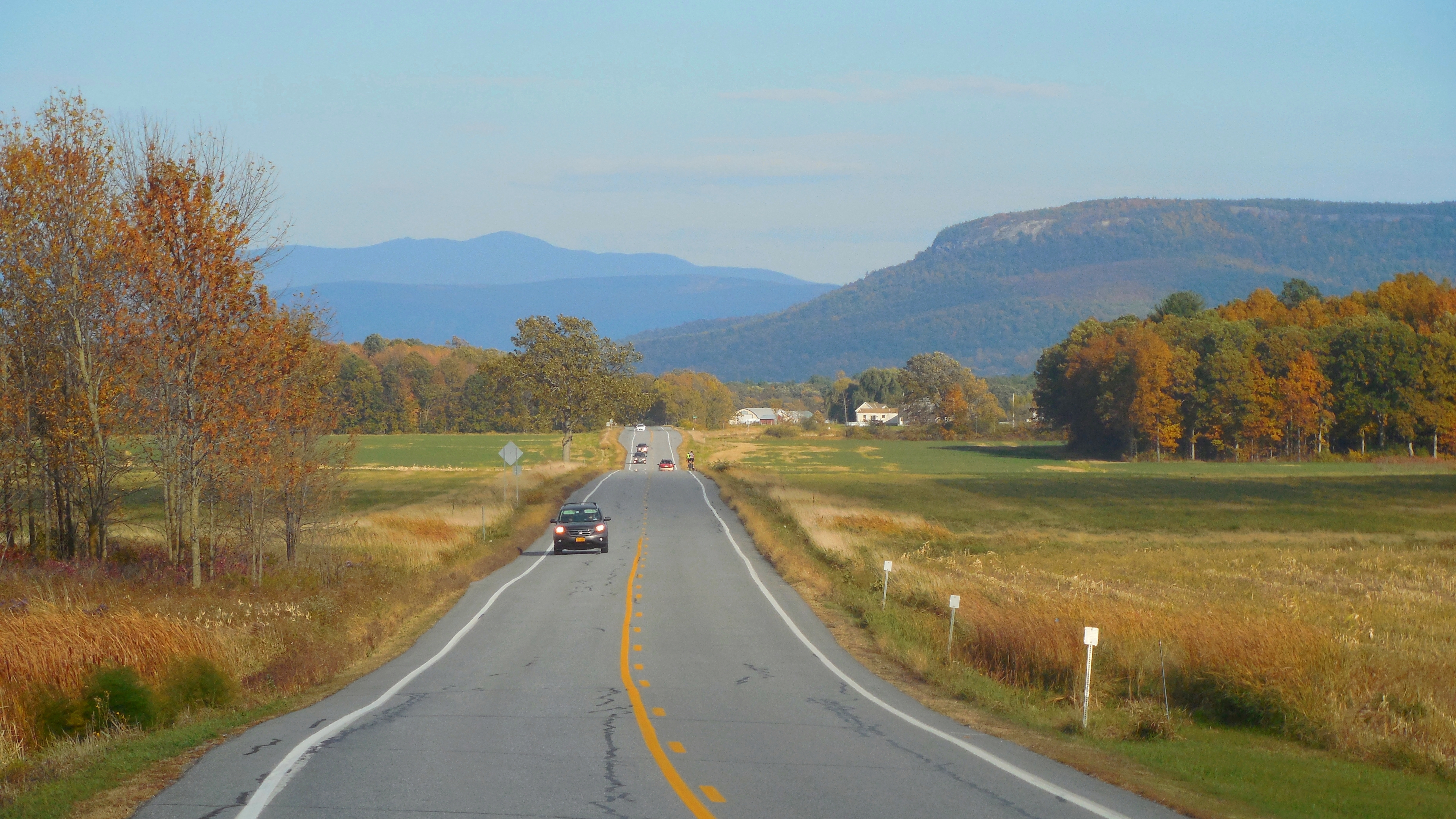
| Description | Snake Mountain (right) and Mt. Abraham (far center) along VT Route 17 (looking eastward) in Addison, Vermont in October 2015 |
| Date | |
| Source | SnakeMT_20151011 |
| Author | Niranjan Arminius |
| Camera location | | View this and other nearby images on: OpenStreetMap |
|---|
.jpg¶ms=044.065226_N_-073.403187_E_globe:Earth_type:camera_source:Flickr_&language=en)
Licensing
This file is licensed under the Creative Commons Attribution-Share Alike 2.0 Generic license.
- You are free:
- to share – to copy, distribute and transmit the work
- to remix – to adapt the work
- Under the following conditions:
- attribution – You must give appropriate credit, provide a link to the license, and indicate if changes were made. You may do so in any reasonable manner, but not in any way that suggests the licensor endorses you or your use.
- share alike – If you remix, transform, or build upon the material, you must distribute your contributions under the same or compatible license as the original.
| This image was originally posted to Flickr by Niranjan Arminius at https://flickr.com/photos/79883259@N00/23945838081. It was reviewed on 17 August 2017 by FlickreviewR and was confirmed to be licensed under the terms of the cc-by-sa-2.0. |
File history
Click on a date/time to view the file as it appeared at that time.
| Date/Time | Dimensions | User | Comment | |
|---|---|---|---|---|
| current | 17:51, 16 August 2017 | 4,896 × 2,754 (7.17 MB) | Arminnius | Transferred from Flickr via Flickr2Commons |
File usage
The following page uses this file:
.jpg)