File:Svcmap blekinge.png
No higher resolution available.
Svcmap_blekinge.png (192 × 400 pixels, file size: 8 KB, MIME type: image/png)
| This is a file from the Wikimedia Commons. The description on its description page there is shown below.
|

|
File:SverigesLän2007Blekinge.svg is a vector version of this file. It should be used in place of this PNG file. (reason: Since the 1st of January 2007 these maps are outdated. A new correct vector version exists.)
File:Svcmap blekinge.png → File:SverigesLän2007Blekinge.svg
For more information, see Help:SVG. |
 |
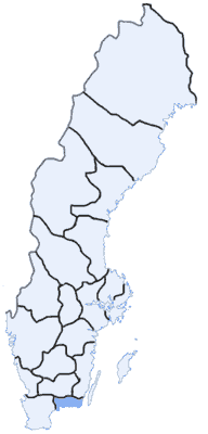
Map Swedish Counties, Blekinge
made by: User:Mic
first uppload: May 3 2003
Svenska: Blekinge läns läge

|
Permission is granted to copy, distribute and/or modify this document under the terms of the GNU Free Documentation License, Version 1.2 or any later version published by the Free Software Foundation; with no Invariant Sections, no Front-Cover Texts, and no Back-Cover Texts. A copy of the license is included in the section entitled GNU Free Documentation License. |
| This file is licensed under the Creative Commons Attribution-Share Alike 3.0 Unported license. | ||
| ||
| This licensing tag was added to this file as part of the GFDL licensing update. |
File history
Click on a date/time to view the file as it appeared at that time.
| Date/Time | Dimensions | User | Comment | |
|---|---|---|---|---|
| current | 11:06, 15 January 2005 | 192 × 400 (8 KB) | Nordelch | {{GFDL}} |
File usage
There are no pages that use this file.