File:Tag der Bundeswehr Airbus H145M (cropped).jpg
Size of this preview: 800 × 514 pixels. Other resolutions: 320 × 206 pixels | 640 × 411 pixels | 1,024 × 658 pixels | 1,280 × 823 pixels | 5,050 × 3,246 pixels.
Original file (5,050 × 3,246 pixels, file size: 2.52 MB, MIME type: image/jpeg)
This is a file from the Wikimedia Commons. The description on its description page there is shown below.
|
Summary
DescriptionTag der Bundeswehr Airbus H145M (cropped).jpg |
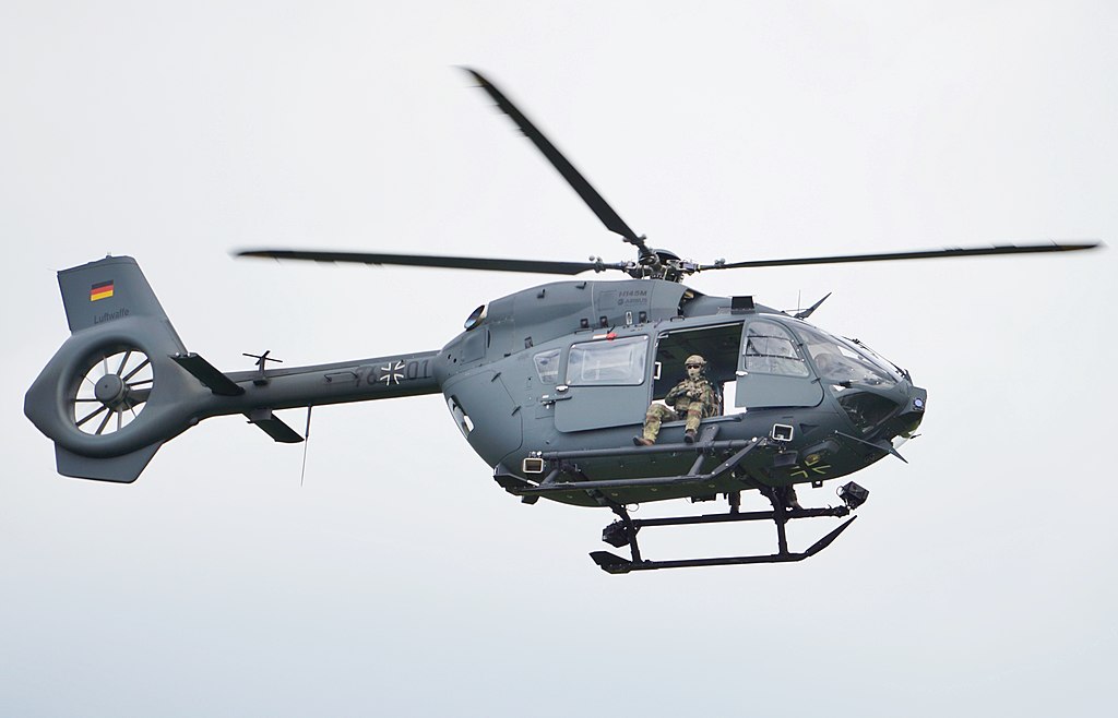
English: German Air Force Airbus H145M |
||||||||||||||||
Date | |||||||||||||||||
Source | Own work | ||||||||||||||||
Author |
creator QS:P170,Q84847593 |
||||||||||||||||
Other versions |
Camera location | 52° 54′ 50.3″ N, 10° 11′ 24.86″ E | View this and other nearby images on: OpenStreetMap | 52.913972; 10.190240 |
---|
Licensing
I, the copyright holder of this work, hereby publish it under the following license:
This file is licensed under the Creative Commons Attribution-Share Alike 4.0 International license.
Attribution: Tim Rademacher, Wikimedia Commons, CC-BY-SA-4.0
- You are free:
- to share – to copy, distribute and transmit the work
- to remix – to adapt the work
- Under the following conditions:
- attribution – You must give appropriate credit, provide a link to the license, and indicate if changes were made. You may do so in any reasonable manner, but not in any way that suggests the licensor endorses you or your use.
- share alike – If you remix, transform, or build upon the material, you must distribute your contributions under the same or compatible license as the original.
Items portrayed in this file
depicts
some value
10 June 2017
52°54'50.299"N, 10°11'24.864"E
0.00125 second
5.6
300 millimetre
100
image/jpeg
File history
Click on a date/time to view the file as it appeared at that time.
Date/Time | Dimensions | User | Comment | |
---|---|---|---|---|
current | 16:04, 7 September 2018 | 5,050 × 3,246 (2.52 MB) | FOX 52 | User created page with UploadWizard |
File usage
The following page uses this file:
Metadata
This file contains additional information, probably added from the digital camera or scanner used to create or digitize it.
If the file has been modified from its original state, some details may not fully reflect the modified file.
Camera manufacturer | SONY |
---|---|
Camera model | ILCE-6000 |
Author | Tim Rademacher |
Copyright holder | http://orlok.org |
Exposure time | 1/800 sec (0.00125) |
F Number | f/5.6 |
ISO speed rating | 100 |
Date and time of data generation | 15:29, 10 June 2017 |
Lens focal length | 300 mm |
Latitude | 52° 54′ 50.3″ N |
Longitude | 10° 11′ 24.86″ E |
Altitude | 95.095 meters above sea level |
Orientation | Normal |
Horizontal resolution | 350 dpi |
Vertical resolution | 350 dpi |
Software used | ILCE-6000 v3.20 |
File change date and time | 16:02, 7 September 2018 |
Y and C positioning | Co-sited |
Exposure Program | Aperture priority |
Exif version | 2.3 |
Date and time of digitizing | 15:29, 10 June 2017 |
Meaning of each component |
|
Image compression mode | 1 |
APEX brightness | 11.34140625 |
APEX exposure bias | 0 |
Maximum land aperture | 4.96875 APEX (f/5.6) |
Metering mode | Pattern |
Light source | Unknown |
Flash | Flash did not fire, compulsory flash suppression |
User comments | Fliegerhorst Faßberg |
Supported Flashpix version | 1 |
Color space | sRGB |
File source | Digital still camera |
Scene type | A directly photographed image |
Custom image processing | Normal process |
Exposure mode | Auto exposure |
White balance | Auto white balance |
Digital zoom ratio | 1 |
Focal length in 35 mm film | 450 mm |
Scene capture type | Standard |
Contrast | Normal |
Saturation | Normal |
Sharpness | Normal |
Unique image ID | 7ECD77EB97B54F0DBCF150B7144092A9 |
GPS time (atomic clock) | 13:29 |
Geodetic survey data used | WGS-84 |
GPS date | 10 June 2017 |
GPS tag version | 2.2.0.0 |
Location depicted | Heeresflugplatz Faßberg |
City shown | Faßberg |
Sublocation of city shown | Heeresflugplatz Faßberg |
Province or state shown | Niedersachsen |
Country shown | Deutschland |
IIM version | 4 |