File:The Inka coastal road at Pachacamac DSC 0318.jpg

Size of this preview: 800 × 470 pixels. Other resolutions: 320 × 188 pixels | 640 × 376 pixels | 1,024 × 601 pixels | 1,280 × 752 pixels | 1,928 × 1,132 pixels.
Original file (1,928 × 1,132 pixels, file size: 326 KB, MIME type: image/jpeg)
| This is a file from the Wikimedia Commons. The description on its description page there is shown below.
|
Summary
| Description |
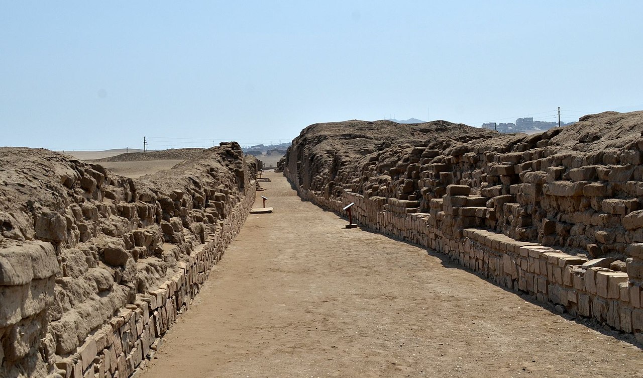
English: Archaeological area of the Pachacamac Sancturay: the main north-south road which is part of the Inka coastal road |
| Date | |
| Source | Own work |
| Author | Aga Khan (IT) |
| Camera location | | View this and other nearby images on: OpenStreetMap |
|---|
Licensing
I, the copyright holder of this work, hereby publish it under the following license:
This file is licensed under the Creative Commons Attribution-Share Alike 4.0 International license.
- You are free:
- to share – to copy, distribute and transmit the work
- to remix – to adapt the work
- Under the following conditions:
- attribution – You must give appropriate credit, provide a link to the license, and indicate if changes were made. You may do so in any reasonable manner, but not in any way that suggests the licensor endorses you or your use.
- share alike – If you remix, transform, or build upon the material, you must distribute your contributions under the same or compatible license as the original.
File history
Click on a date/time to view the file as it appeared at that time.
| Date/Time | Dimensions | User | Comment | |
|---|---|---|---|---|
| current | 03:25, 8 July 2019 | 1,928 × 1,132 (326 KB) | Aga Khan (IT) | User created page with UploadWizard |
File usage
The following page uses this file: