File:Tustrup gravpladsen (Norddjurs Kommune).Jættestue.Gang.2.47886.ajb.jpg
Original file (6,000 × 4,000 pixels, file size: 13.34 MB, MIME type: image/jpeg)
| This is a file from the Wikimedia Commons. The description on its description page there is shown below.
|
Summary
| Description |
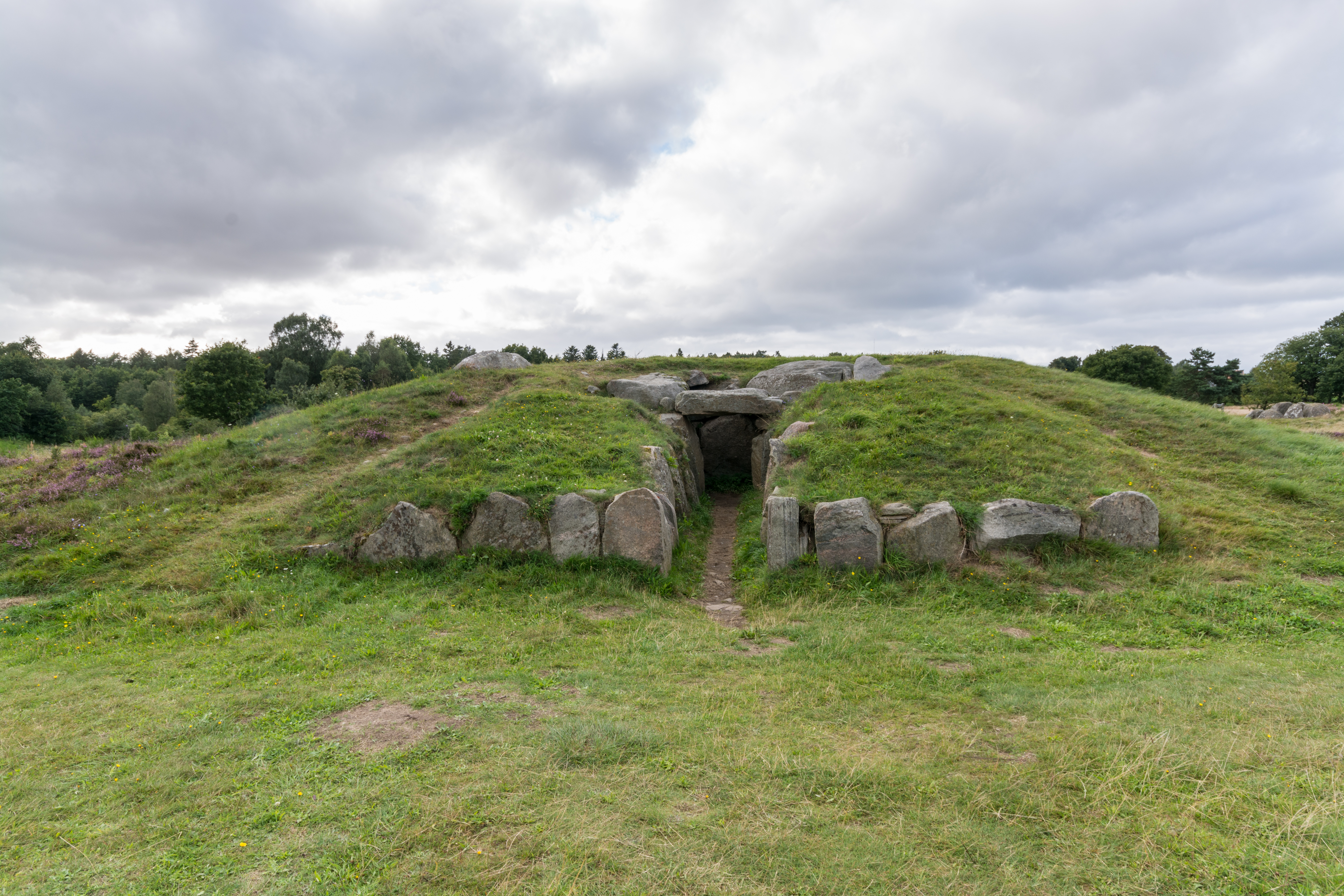
Dansk: Jættestuen på Tustrup-gravpladsen (Norddjurs Kommune).
English: Tustrup Burial Ground's Passage Grave in Norddjurs Kommune.
Deutsch: Eingang des Ganggrabs auf dem steinzeitlichen Grabplatz bei Tustrup (Norddjurs Kommune).
|
||
| Date | |||
| Source | Own work | ||
| Author | Ajepbah | ||
| Attribution (required by the license) | Bild: © Ajepbah / Wikimedia Commons / | ||
| Camera location | | View this and other nearby images on: OpenStreetMap |
|---|
|
|
This photo was taken by Ajepbah. If you use one of my photos, an email (account needed) or a message would be greatly appreciated. |
|

|
|
This file has been released under a license which is incompatible with Facebook's licensing terms. It is not permitted to upload this file to Facebook. |
|
|
|
Do not upload new revisions over this file version without my explicit consent. |

.J%C3%A6ttestue.Gang.2.47886.ajb.jpg)
.J%C3%A6ttestue.Gang.2.47886.ajb.jpg¶ms=056.490425_N_0010.513128_E_globe:Earth_type:camera_region:DK-82_dim:250_heading:315.00&language=en)
Licensing
- You are free:
- to share – to copy, distribute and transmit the work
- to remix – to adapt the work
- Under the following conditions:
- attribution – You must give appropriate credit, provide a link to the license, and indicate if changes were made. You may do so in any reasonable manner, but not in any way that suggests the licensor endorses you or your use.
- share alike – If you remix, transform, or build upon the material, you must distribute your contributions under the same or compatible license as the original.

File history
Click on a date/time to view the file as it appeared at that time.
| Date/Time | Dimensions | User | Comment | |
|---|---|---|---|---|
| current | 15:30, 22 August 2016 | 6,000 × 4,000 (13.34 MB) | Ajepbah |
File usage
The following page uses this file:
.Jættestue.Gang.2.47886.ajb.jpg)